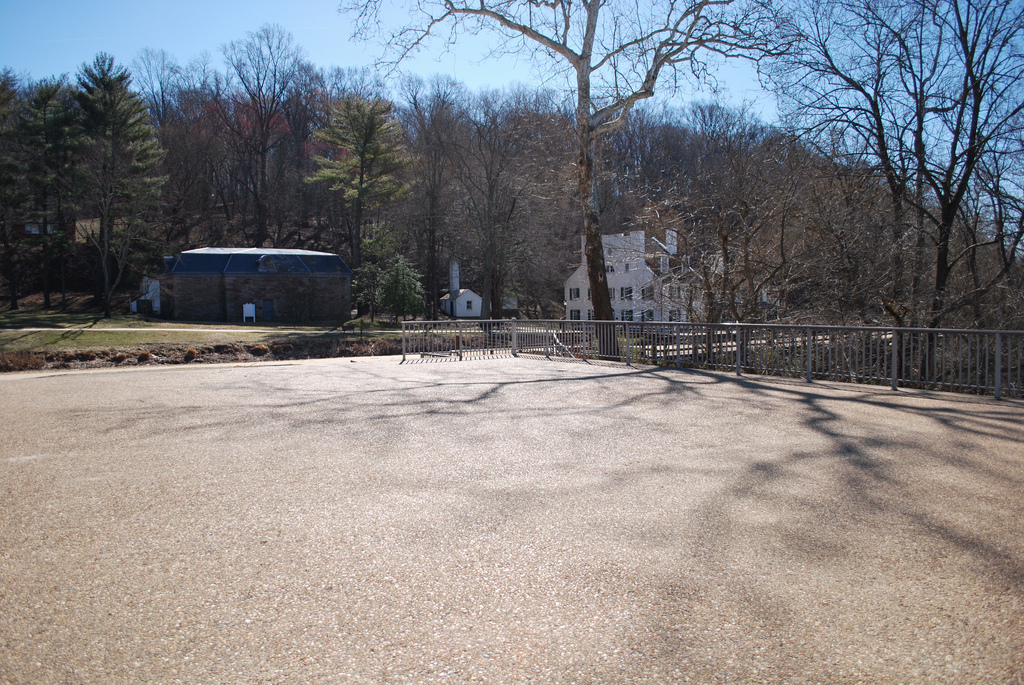
The park charges a small entrance fee of $5 per car (~600 available parking spots). It contains a large picnic area, but its only open during the daylight hours. The park sometimes closes because of the lack of parking space creating delays and temporary closures lasting for several hours. It offers several viewing platforms that provide visitors with vantage points overlooking the falls. The NPS operates a visitor center near the falls.
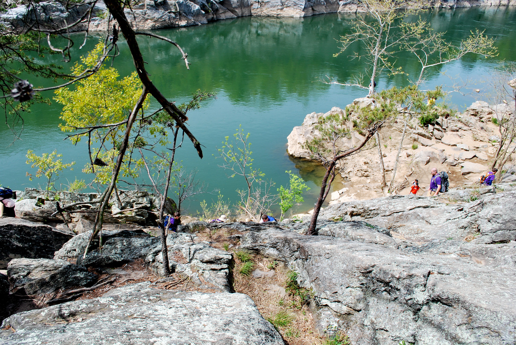
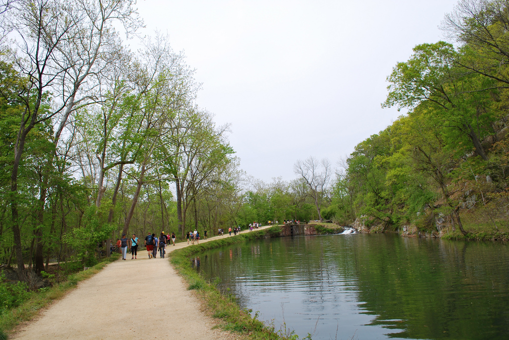
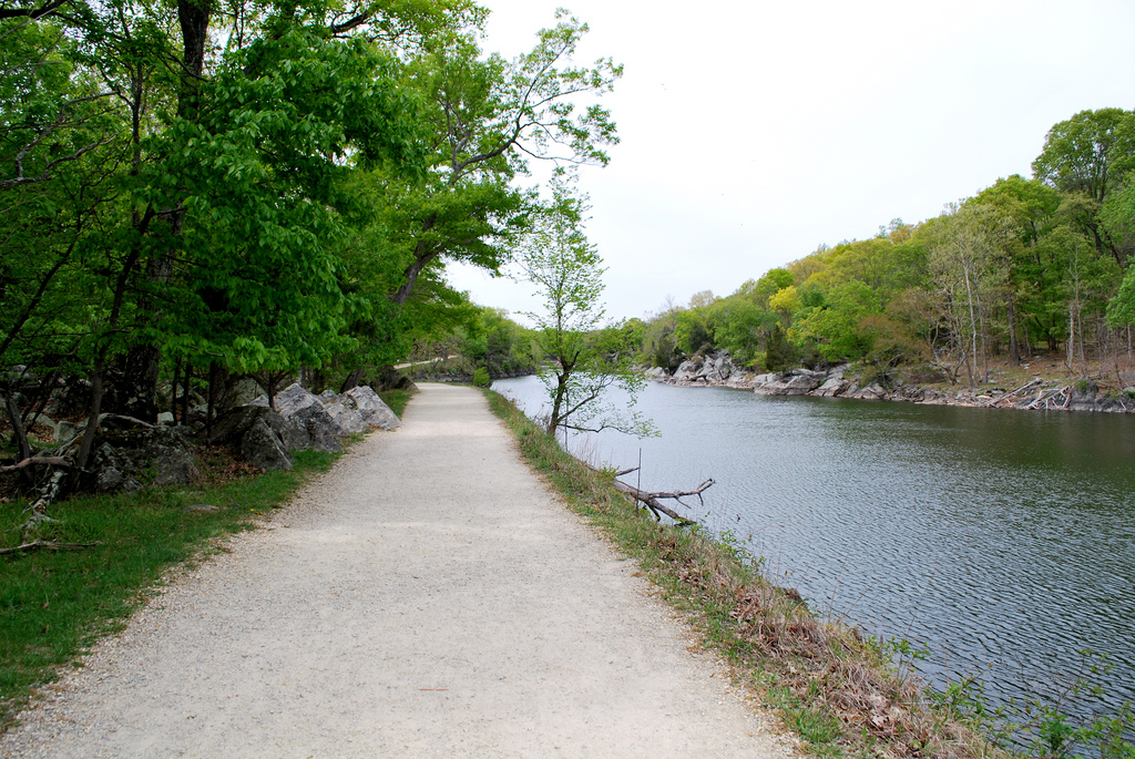
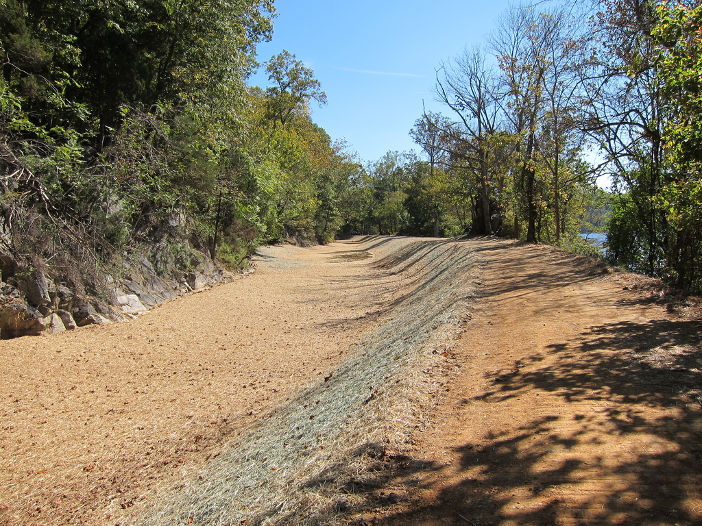
The most popular trail in the park is the Billy Goat Trail. There’s around 15 miles (24 km) of hiking trails around the park that follows a small stream known as Difficult Run. A scenic trail near the river travels upstream starts at the mouth of Difficult Run, climbs to the top of Mather Gorge, continue pass the falls, the dam, and a reservoir before ending in Riverbend Park (Fairfax County).
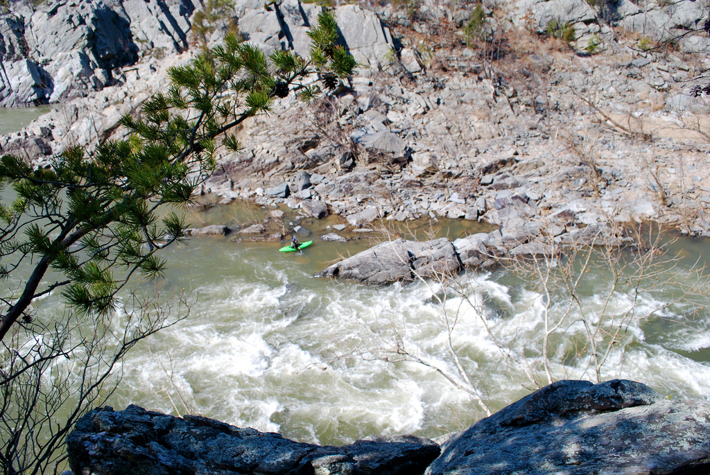
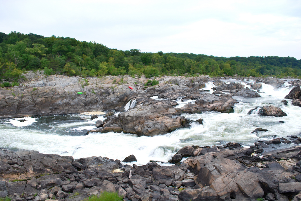
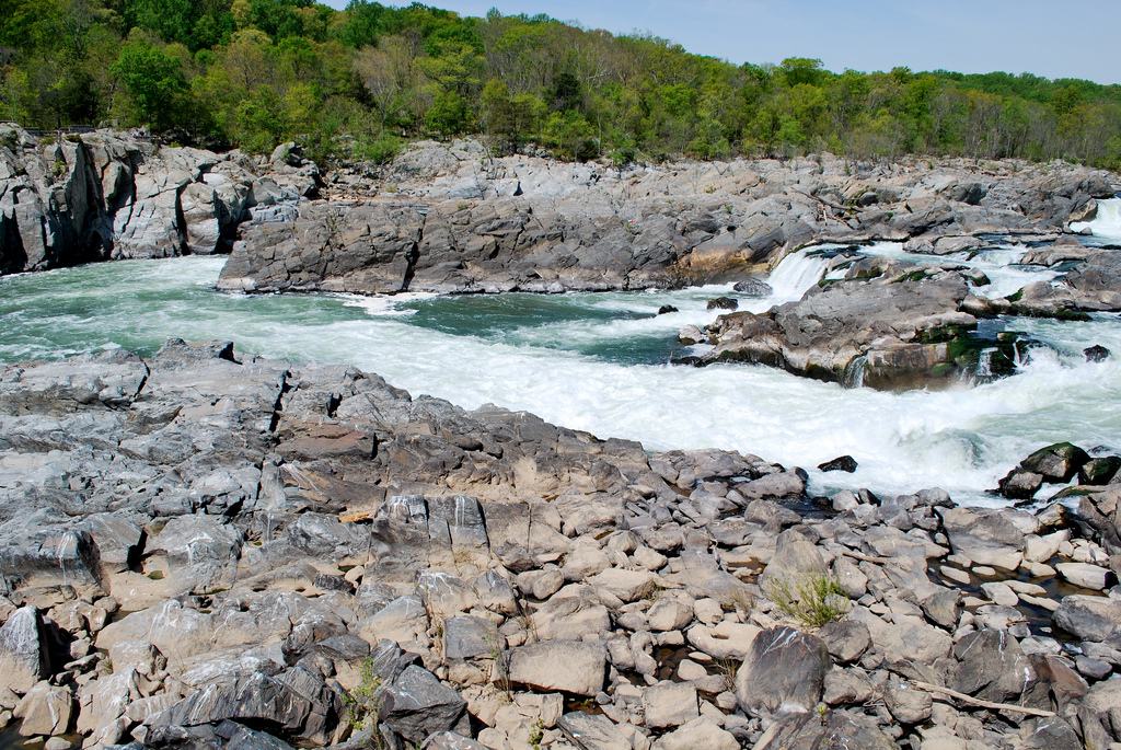
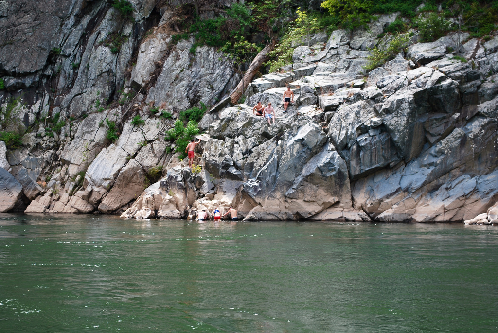
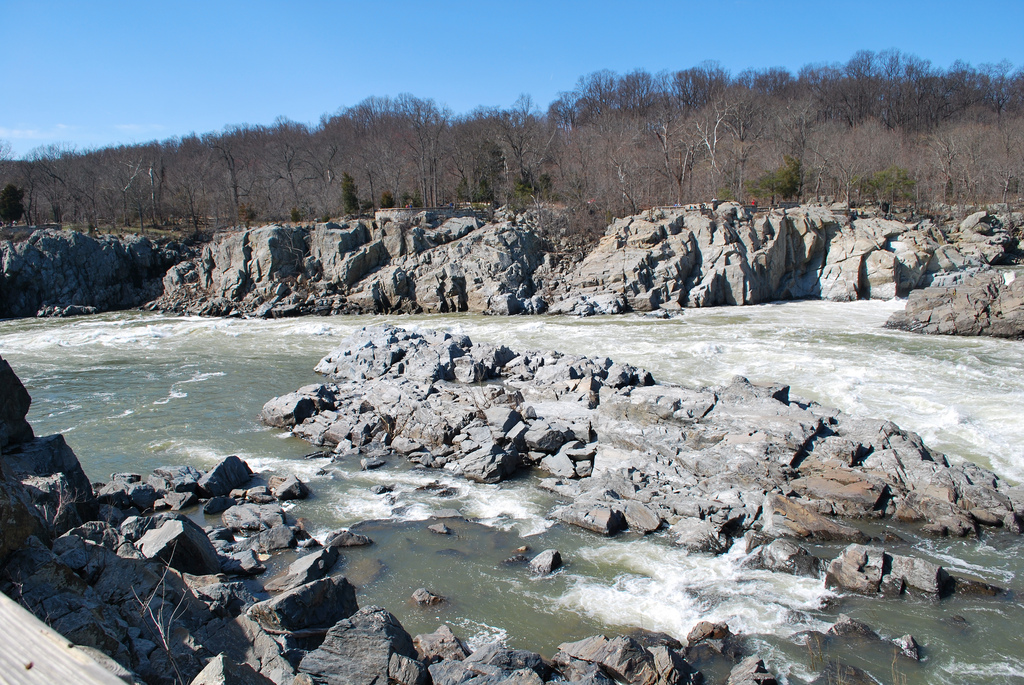
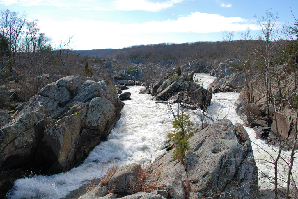
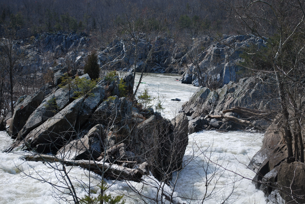
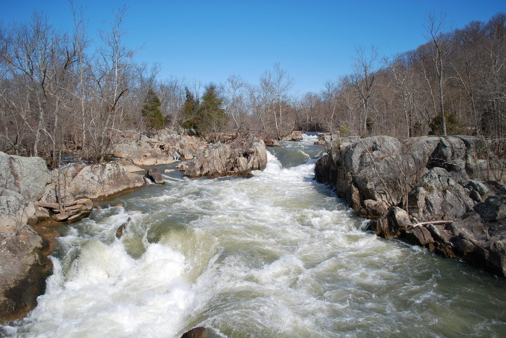
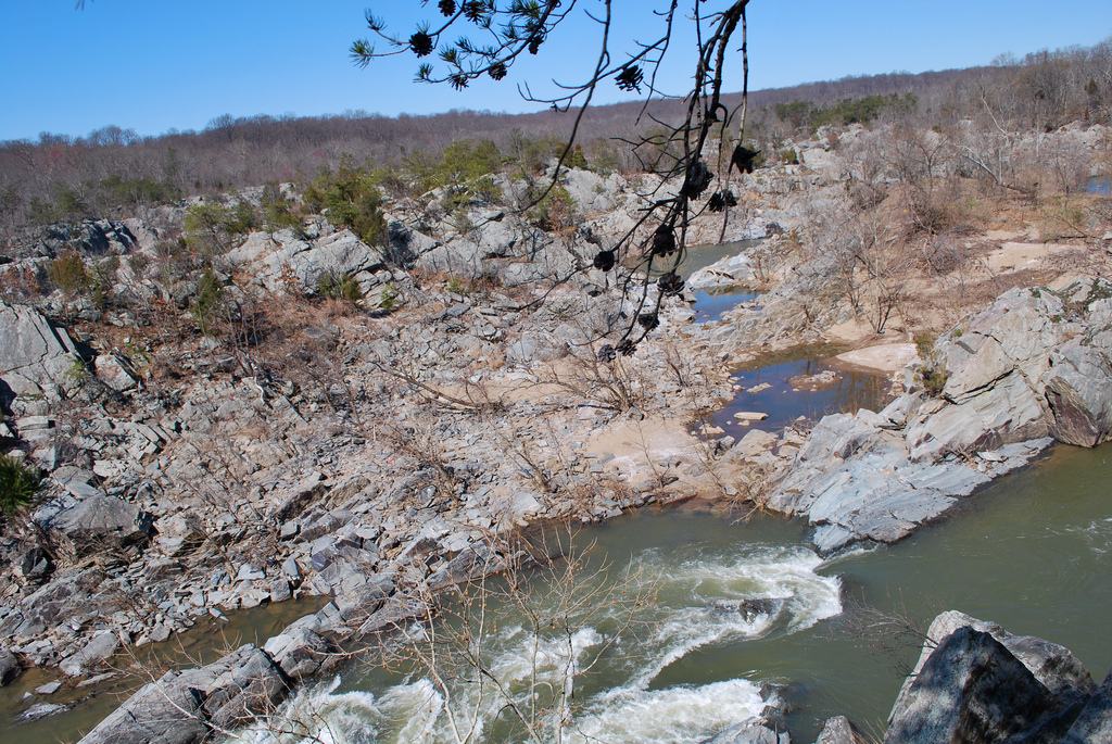
The park is ideal for white water kayaking. The falls total 76 feet (20 m) over a series of major cascades. According to the International Scale of River Difficulty, the Great Falls have a rating of class 5 and 6 whitewater . Tom McEwan was the first kayaker to make a run on the river on 1975. The popularity of the falls for expert white water kayakers only started in the early 1990s. Below the falls, through Mather Gorge, the river is rated class 2-3 and has been a very popular kayaking run since the 1960s.
The NPS does not permit camping or swimming in the park. There’s an average of 7 drownings per year in the Potomac River or its vicinity most of them alcohol-related even though consumption of alcoholic beverages is illegal within the park area. Entry into the water above the falls from the Virginia side is illegal.
Background History
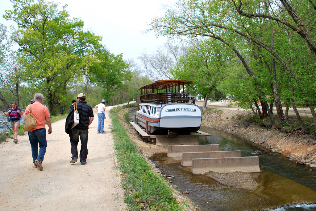
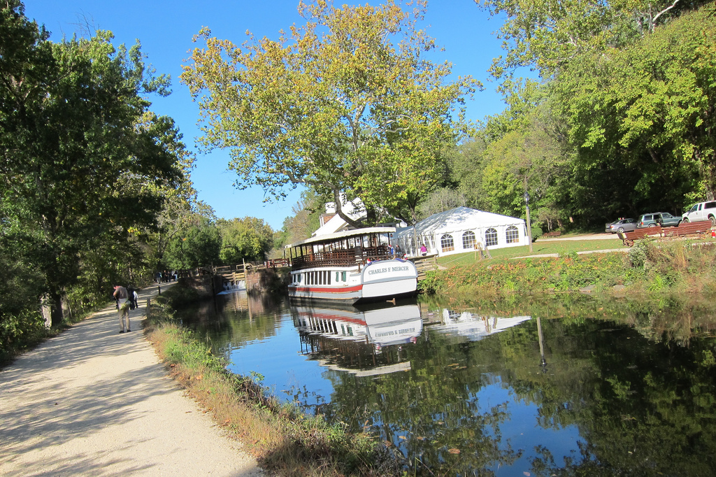
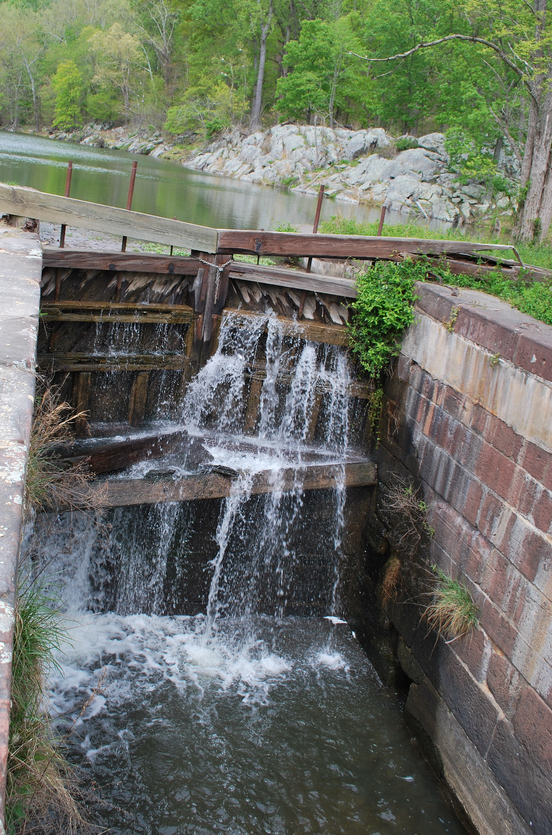
Before any development on the Great Falls, there are Native American petroglyphs that have been discovered within the park on cliffs overlooking Difficult Run. George Washington partially funded the Patowmack Canal and this one-mile (1.6 km) bypass canal began operating in 1785 to give small barges the opportunity to distribute manufactured goods upstream and raw materials downstream. Two wooden canal lock gates located on the park visitor center was excavated in the 1980s. You can also see stone mason marks found on the stones unique to each artisan along the canals.
Blasting powder was used during the construction of the canal. It’s one of the first known examples of blasting powder being used for engineering purposes anywhere in the world. The project was abandoned in 1830 due to the completion of the Chesapeake and Ohio Canal on the opposite side of the river and the popularity of railroads. The canal is a Civil Engineering Landmark as well as a Virginia Historic Landmark along with several ruins of the small town of Matildaville, Virginia.
The Great Falls and Old Dominion Railroad and then later its successor the Washington and Old Dominion Railway operated an amusement park (trolley park) at the falls between 1906 and 1932. The park contained picnic grounds, a dance pavilion, and a carousel at the end of an electric trolley line that starts in Georgetown, Washington, D.C.. In the evenings, a searchlight illuminated the falls. The park continues to provide picnic grounds and a visitor’s center, but the carousel (1954-1972) was destroyed by a flood caused by Hurricane Agnes.
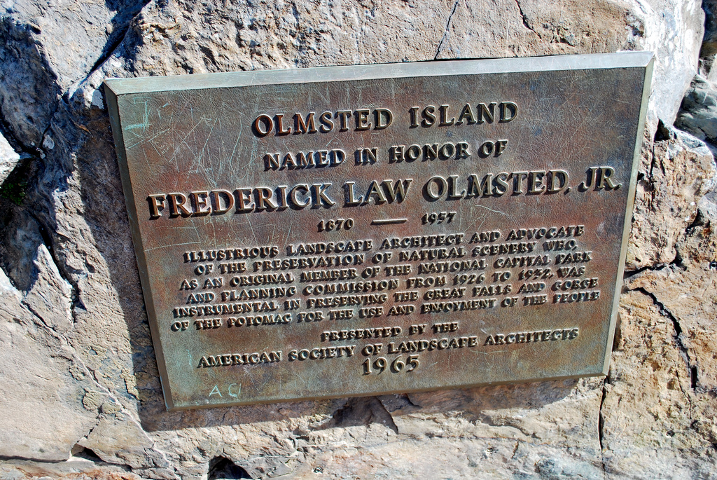
The Great Falls Park was part of the Northern Virginia Parks system and was transferred to the NPS in 1966. There was a proposed bridge to span the falls but, due to a strong lobby to eliminate additional bridges over the Potomac and concerns over environmental impacts, the project was never undertaken.
Available Maps
Great Falls National Park