
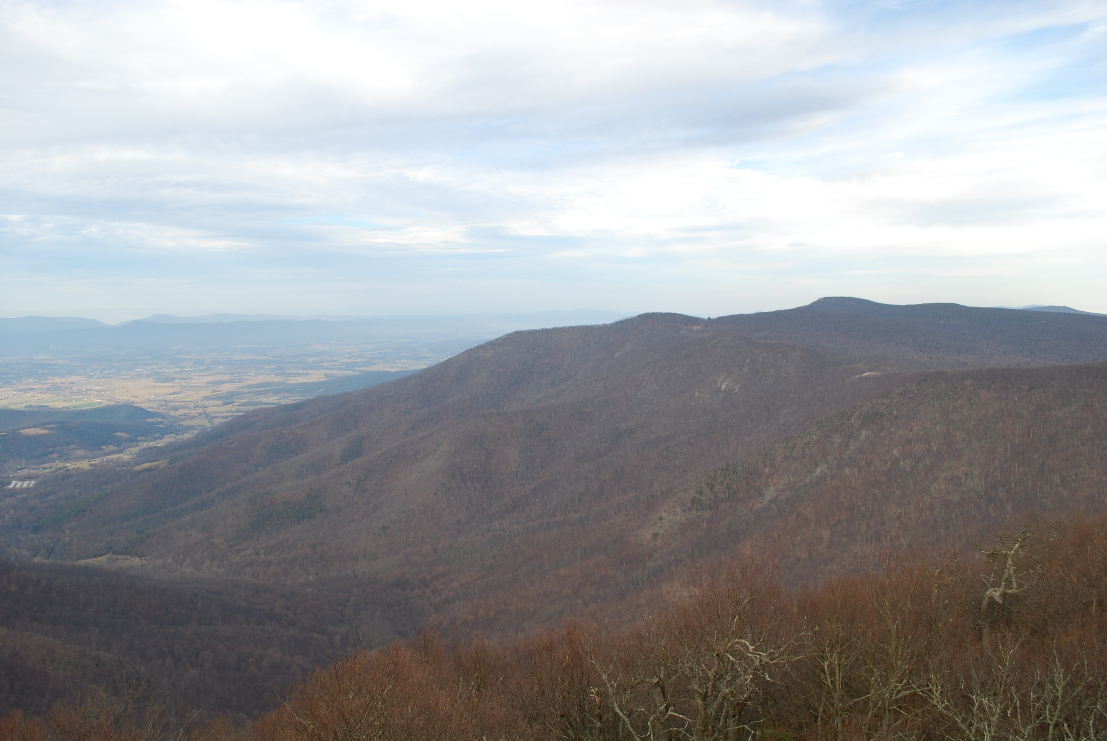
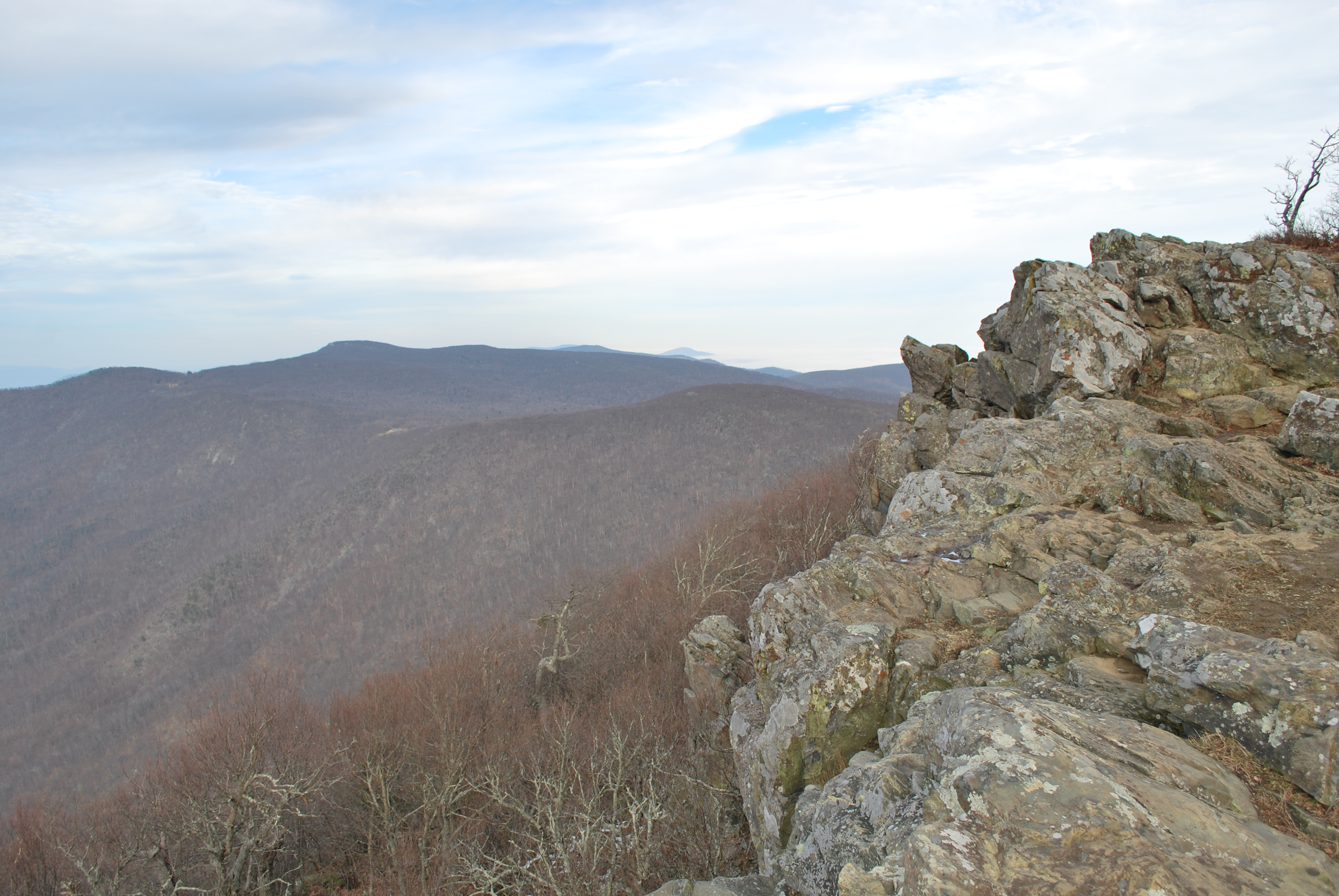
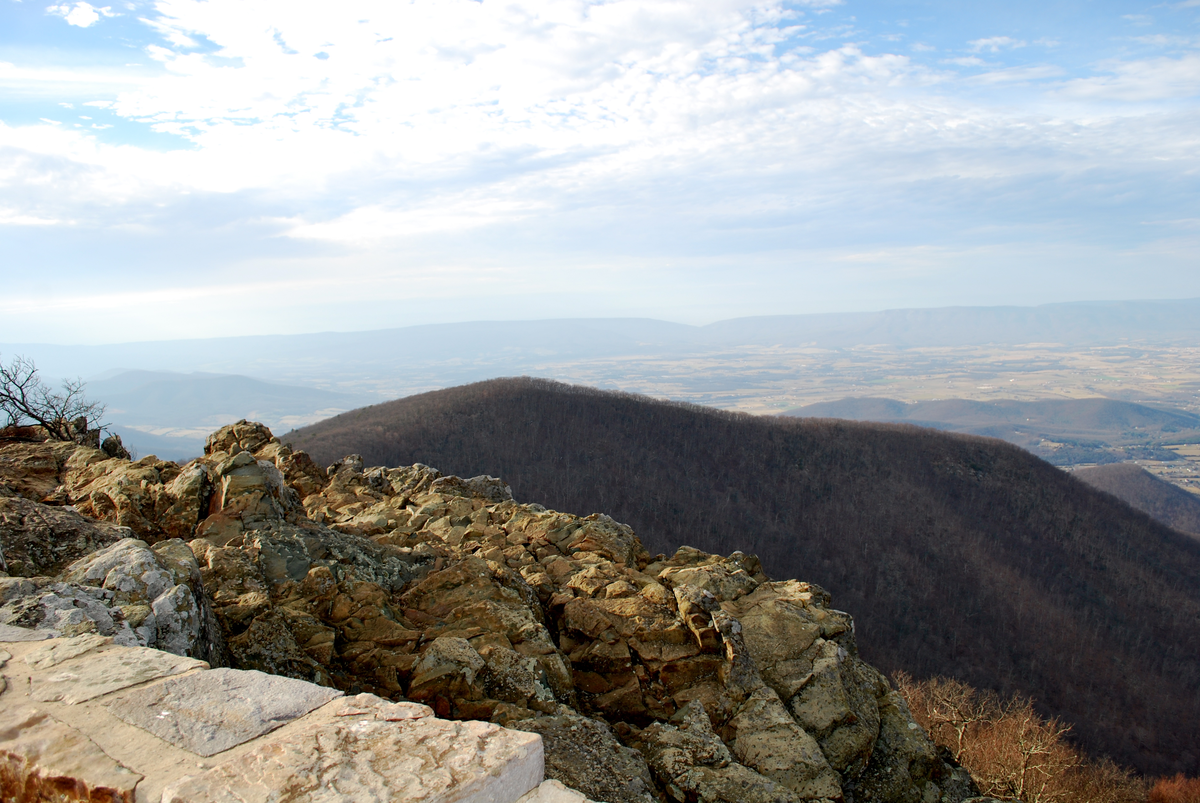
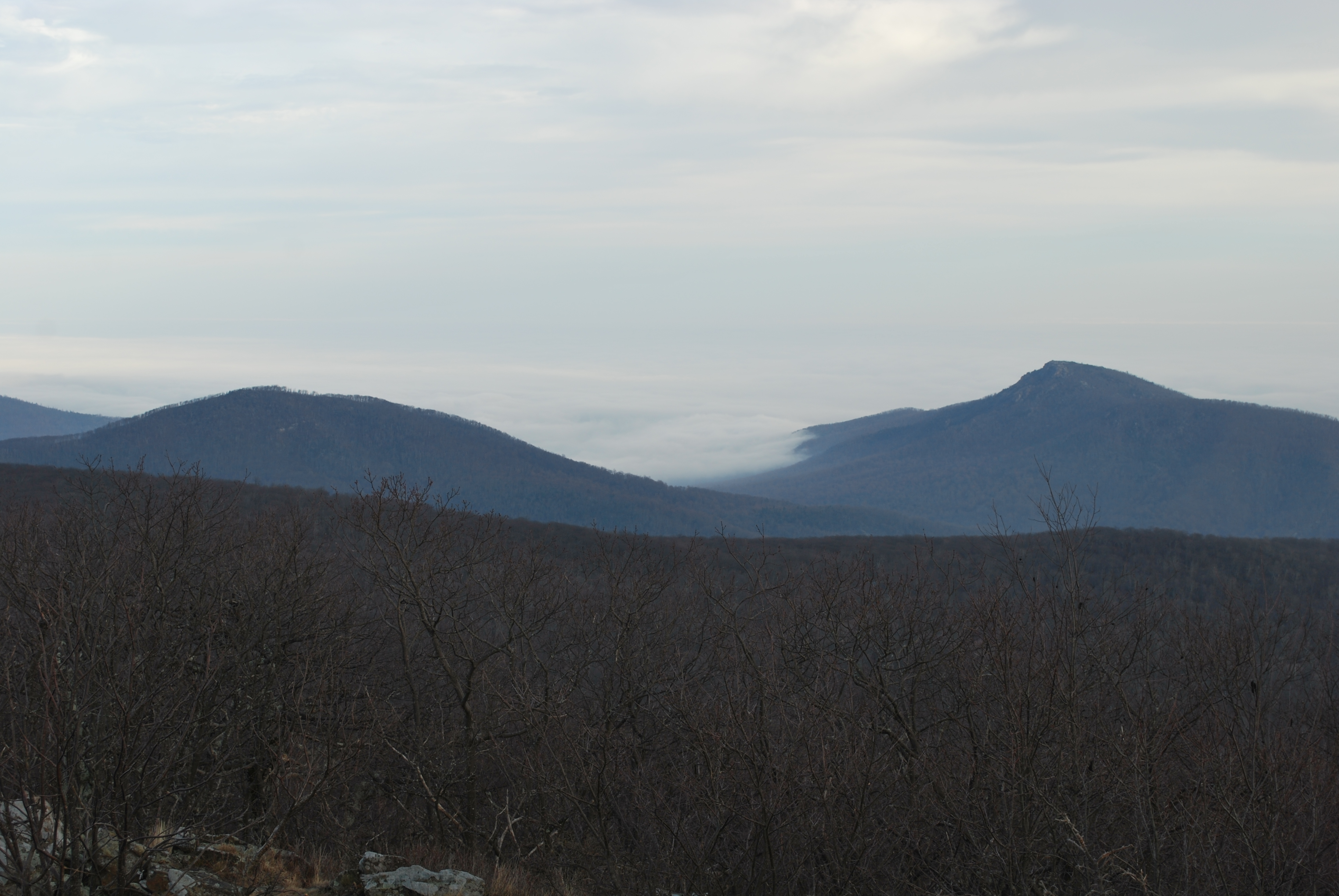
Hawksbill Mountain has an elevation of 4,050 feet (1,230 m) located between the border between Madison County and Page County in Virginia. The summit is the highest point in Shenandoah National Park, as well as the highest point in both Madison and Page counties.
The north face of Hawksbill Peak is a 2,500-foot (760 m) drop into Timber Hollow, which is the largest elevation change in the park. The summit is one of the few places in Shenandoah National Park where one can find balsam fir, a tree more typical of northern New England and southeast Canada. Red spruce was once found near the summit but the last of the trees died out over 20 years ago.
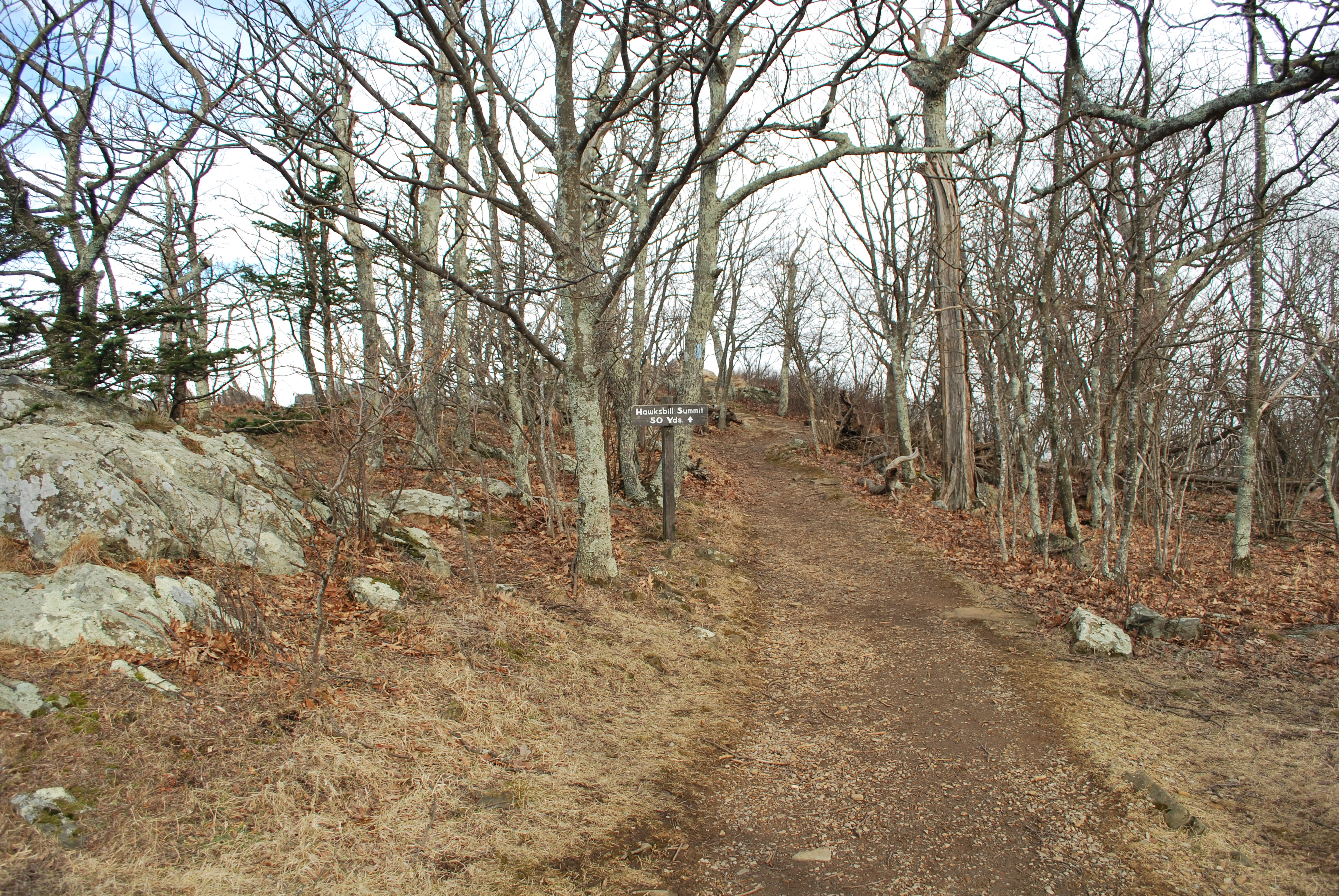
The National Park Service has constructed a stone observation platform at the summit (Byrd’s Nest No. 2) and is the site of a Peregrine Falcon restoration project. The summit of Hawksbill Mountain can be reached via Upper Hawksbill parking area on Skyline Drive. The Whiteoak canyon trail also leads to the summit of Hawksbill while the Appalachian Trail goes around the trail and 500 ft (150 m) below the summit.
Shenandoah National Park
Panorama Area Road and Trail Map
Park Information recording: (540) 999-3500
www.nps.gov/shen
Twitter
Tweets by ShenandoahNPS