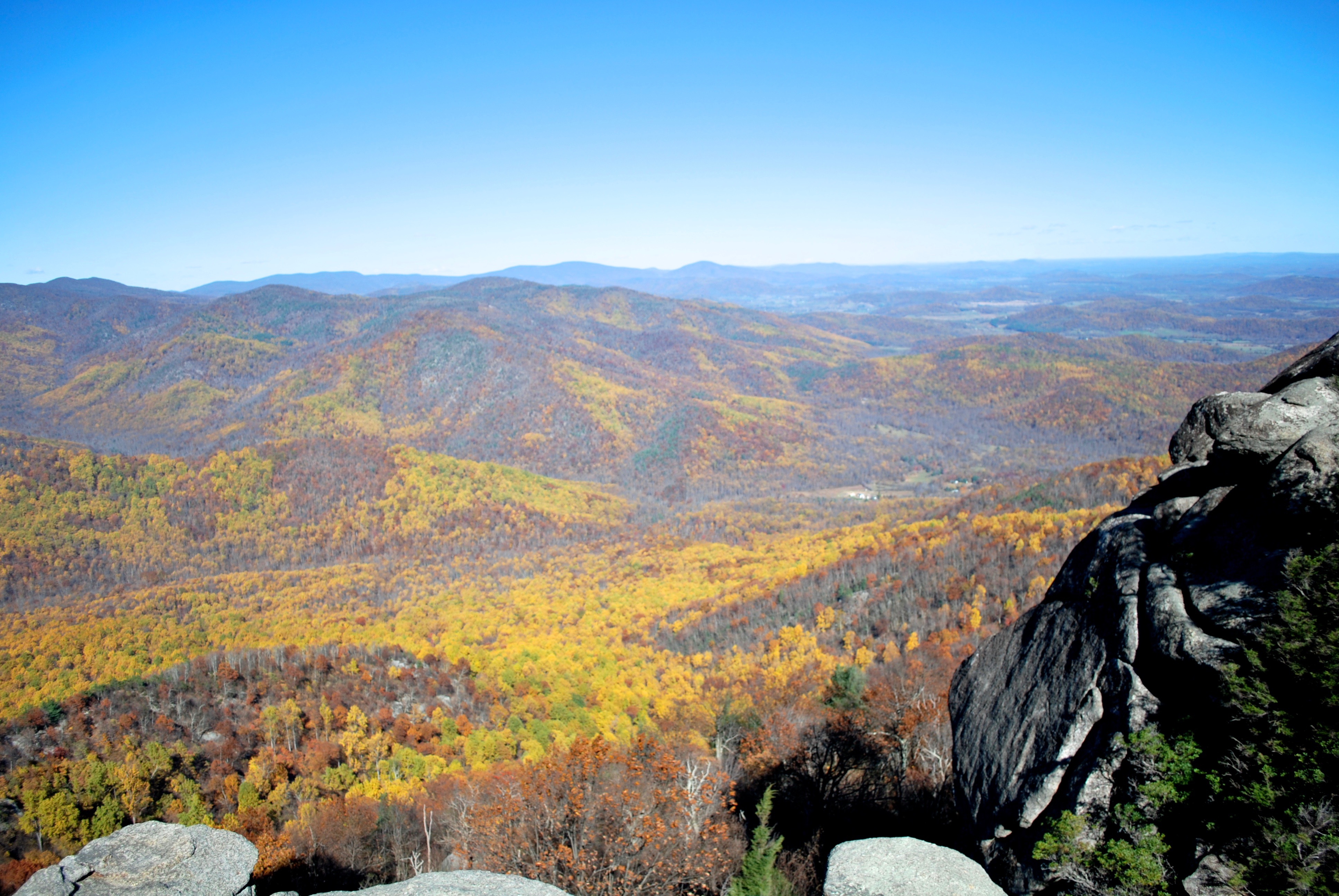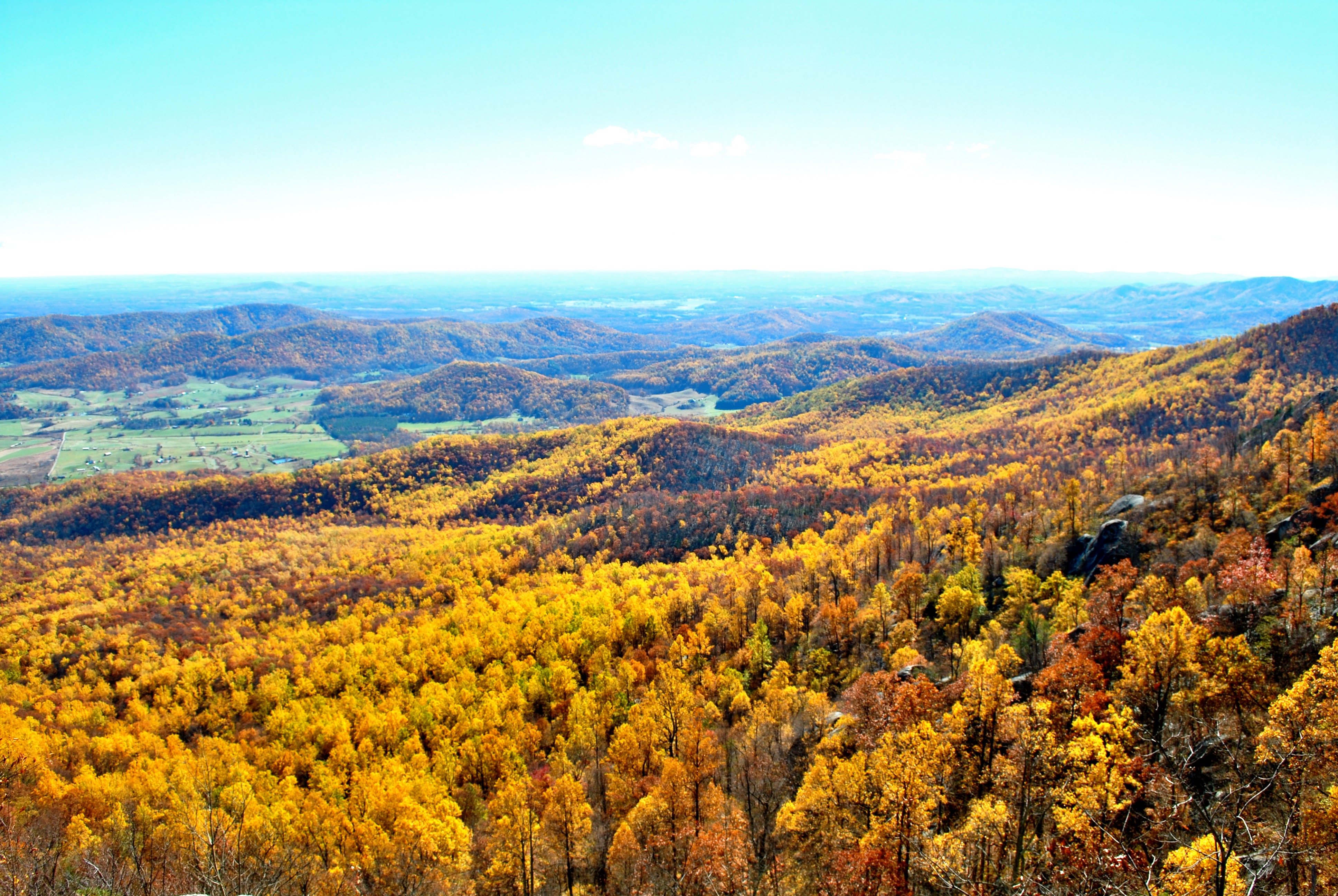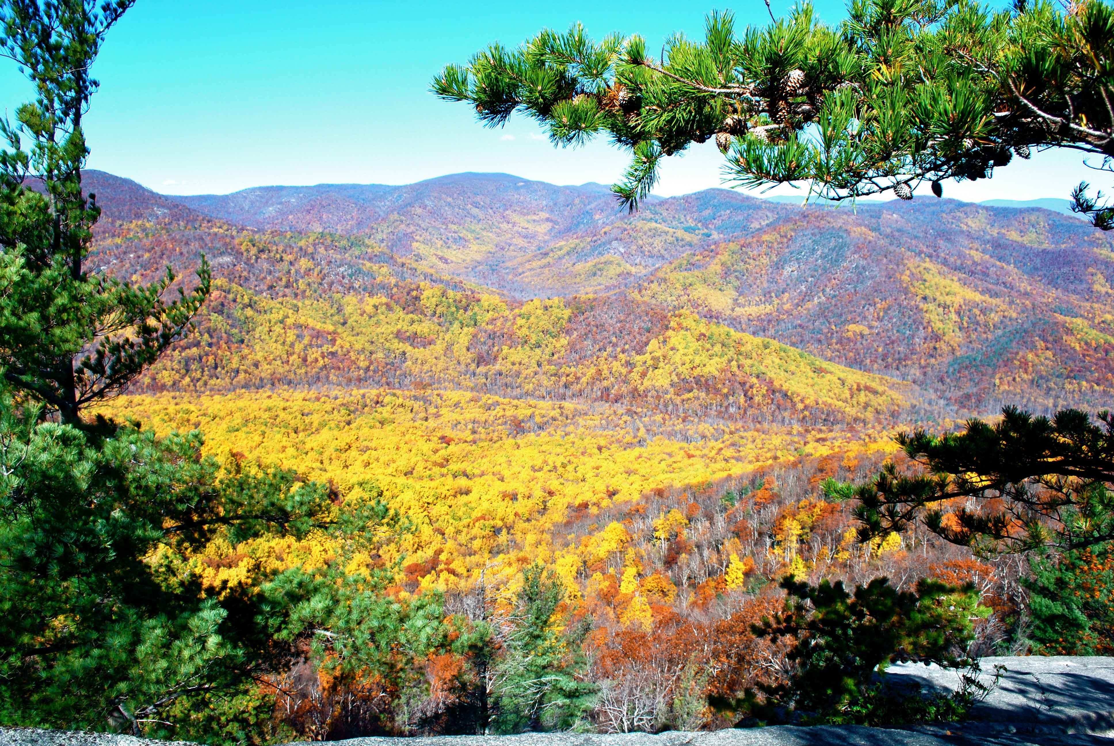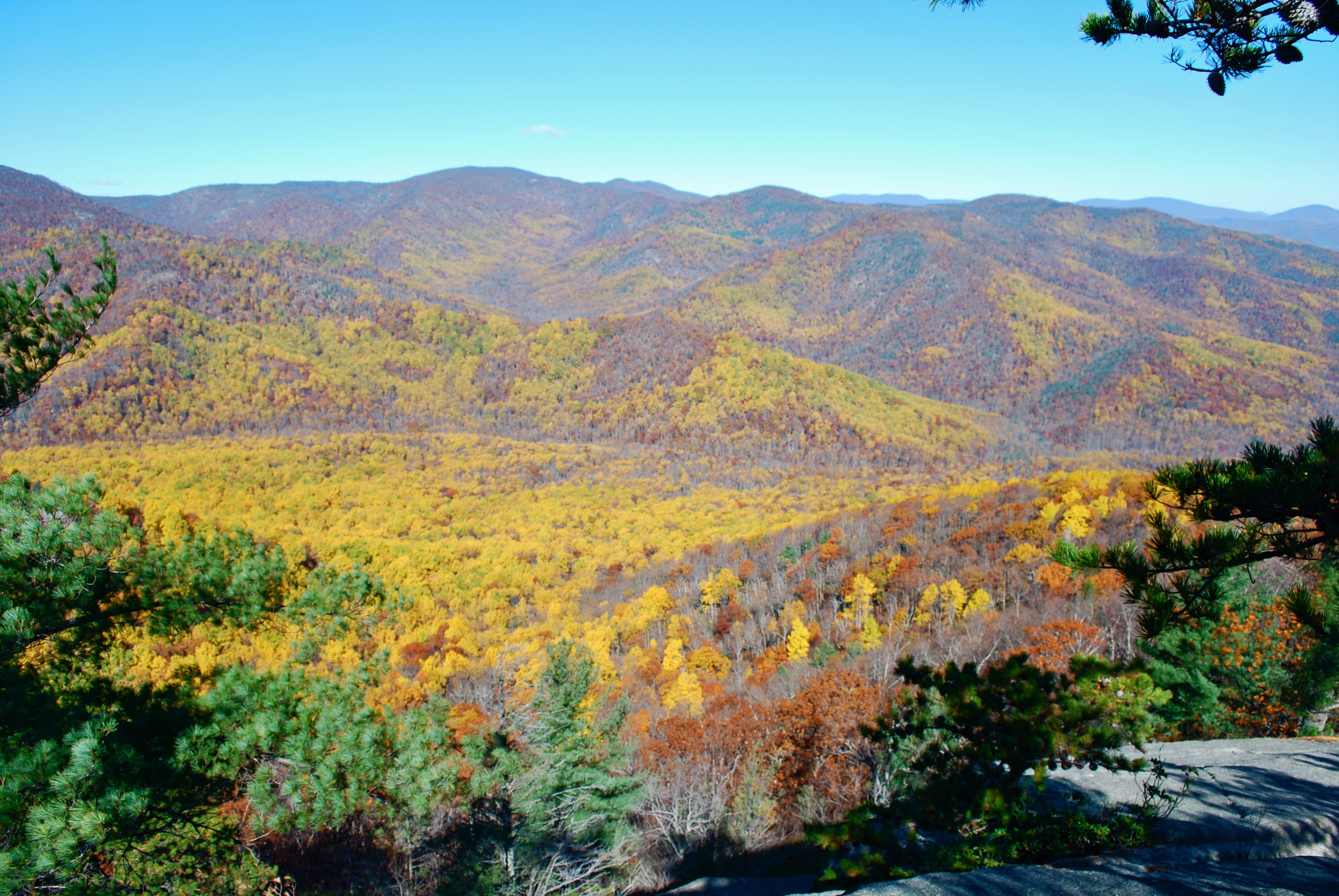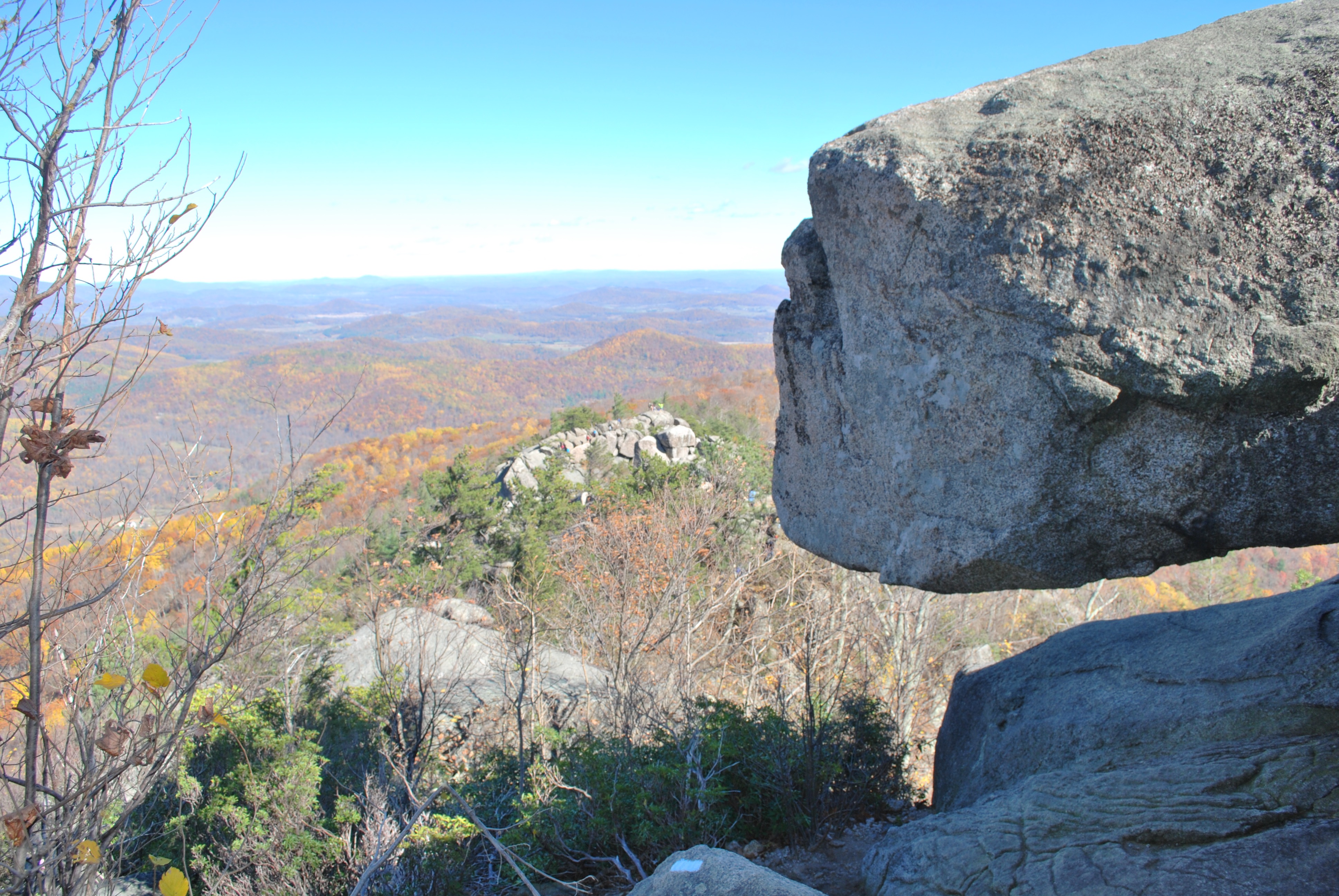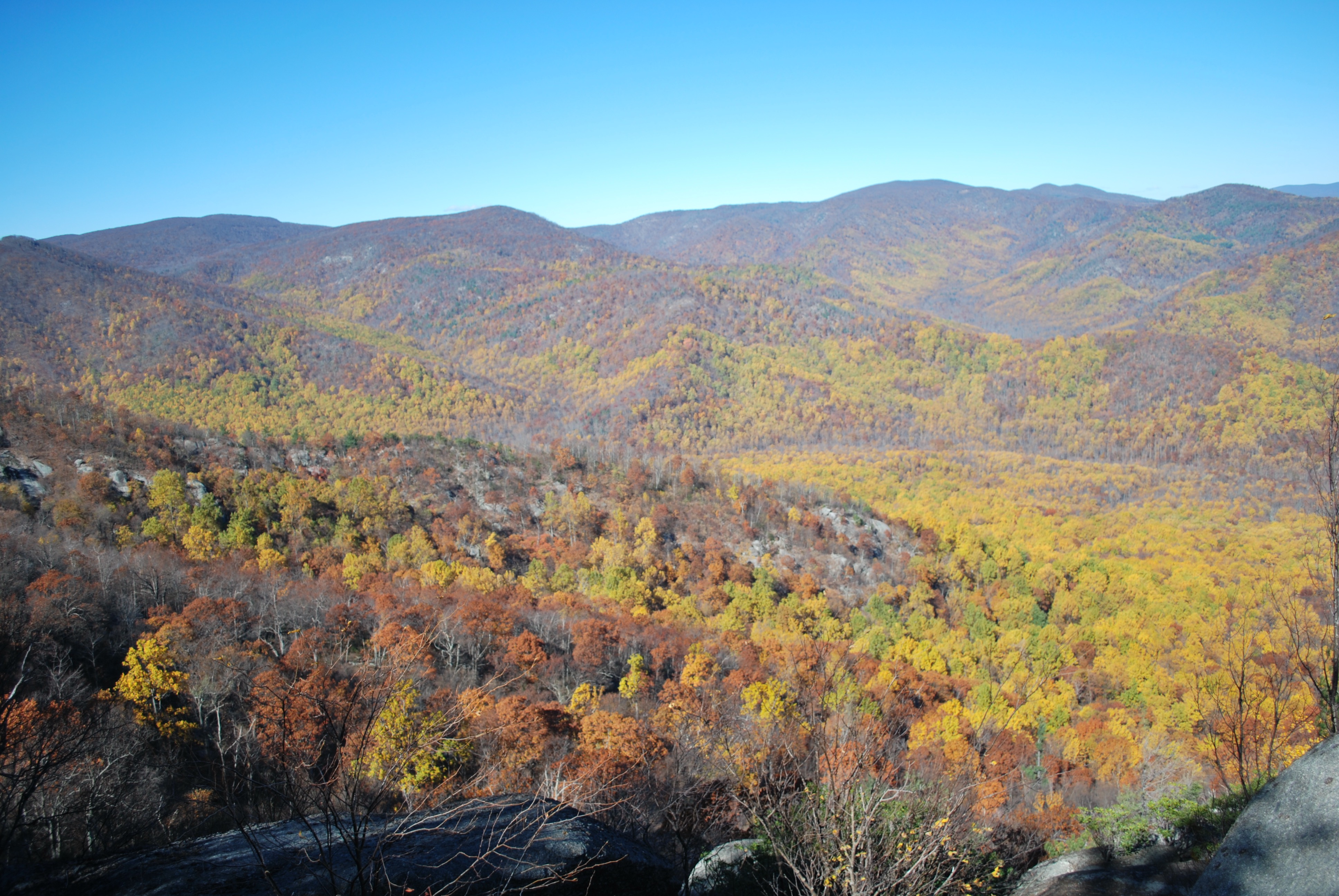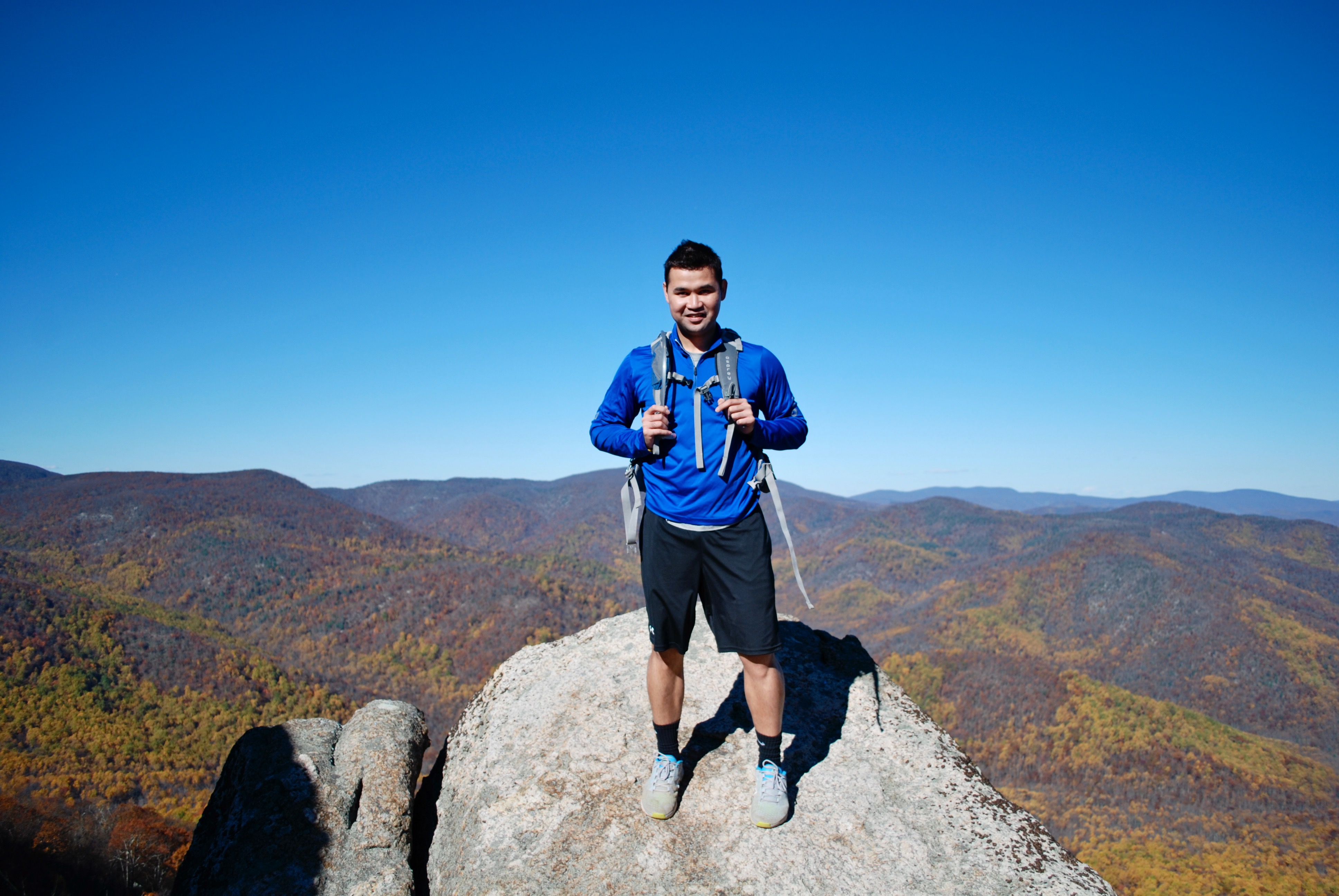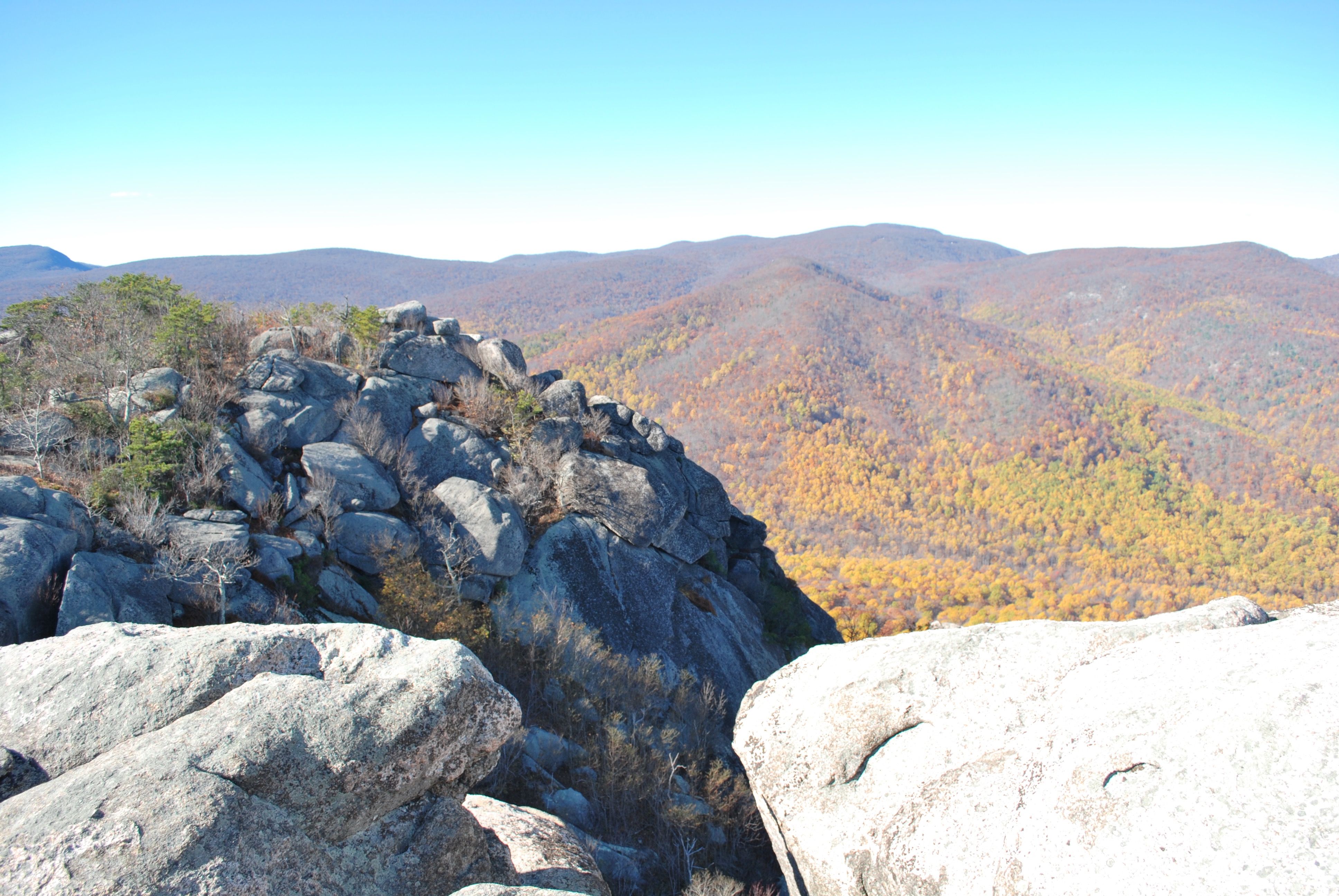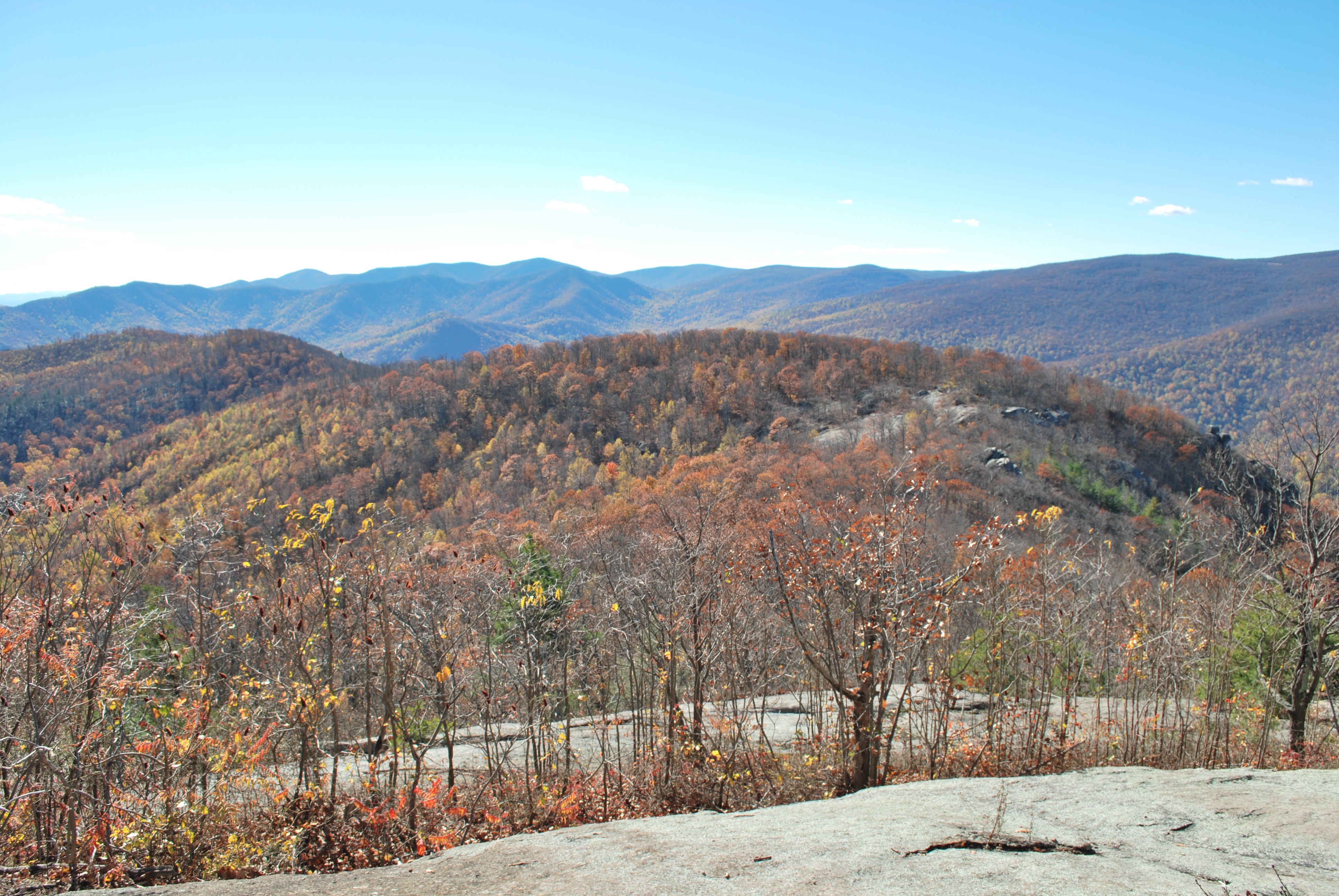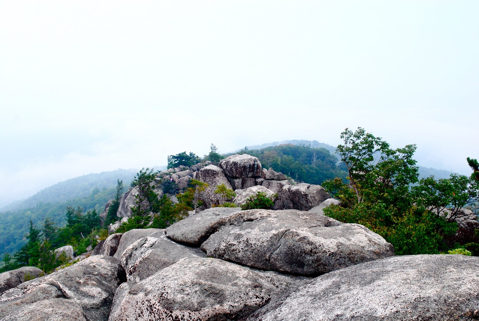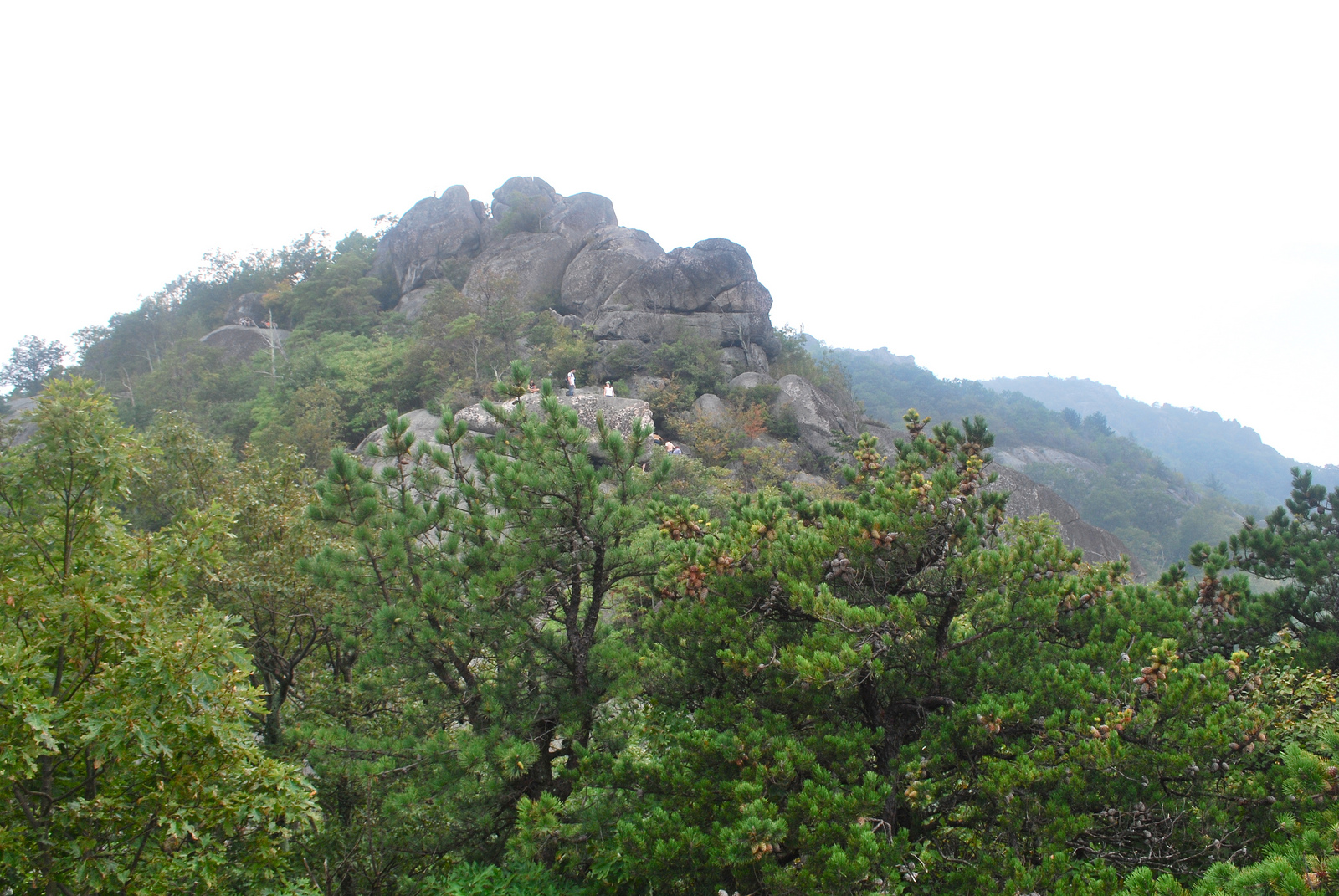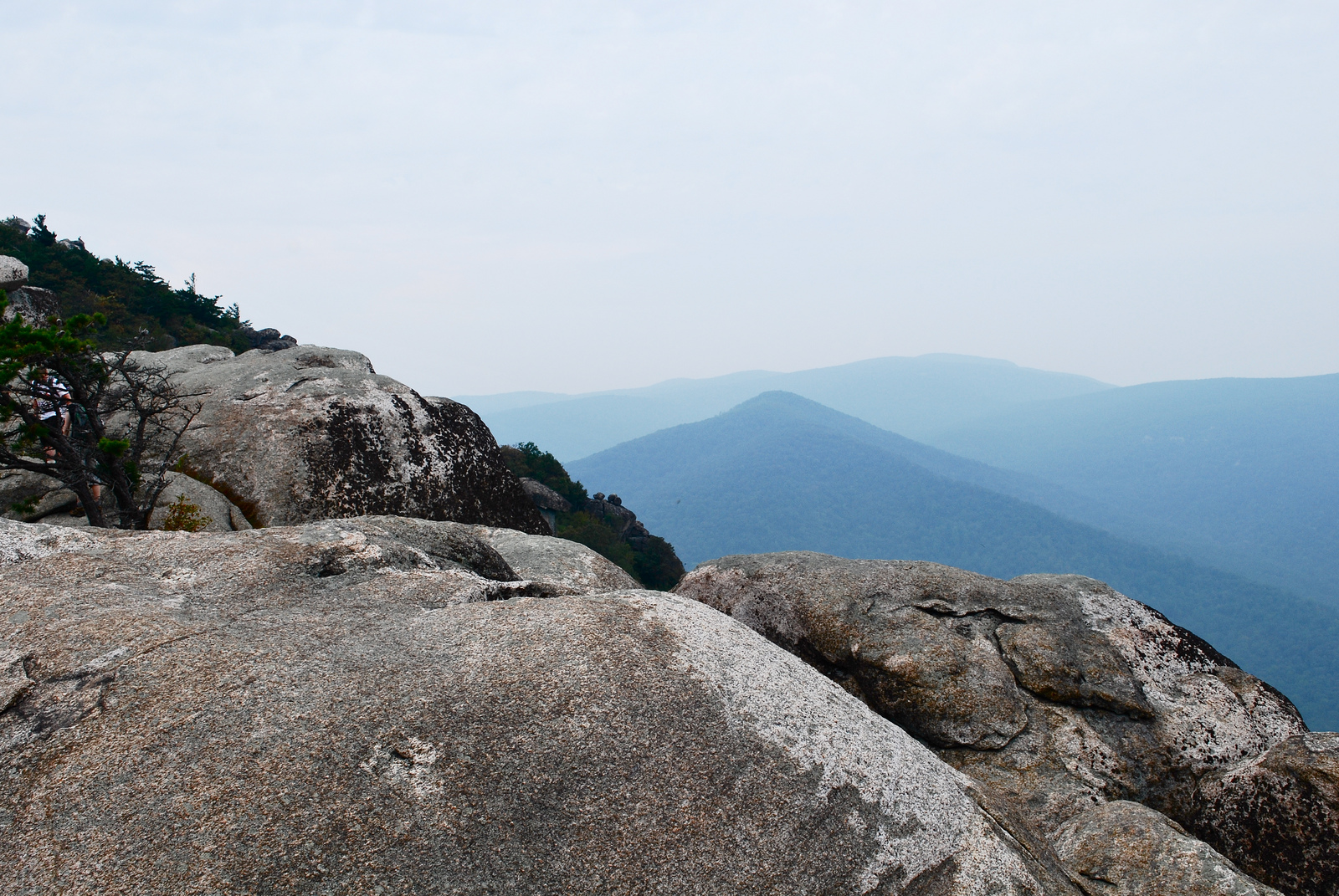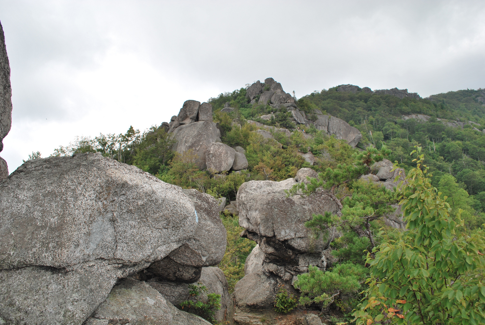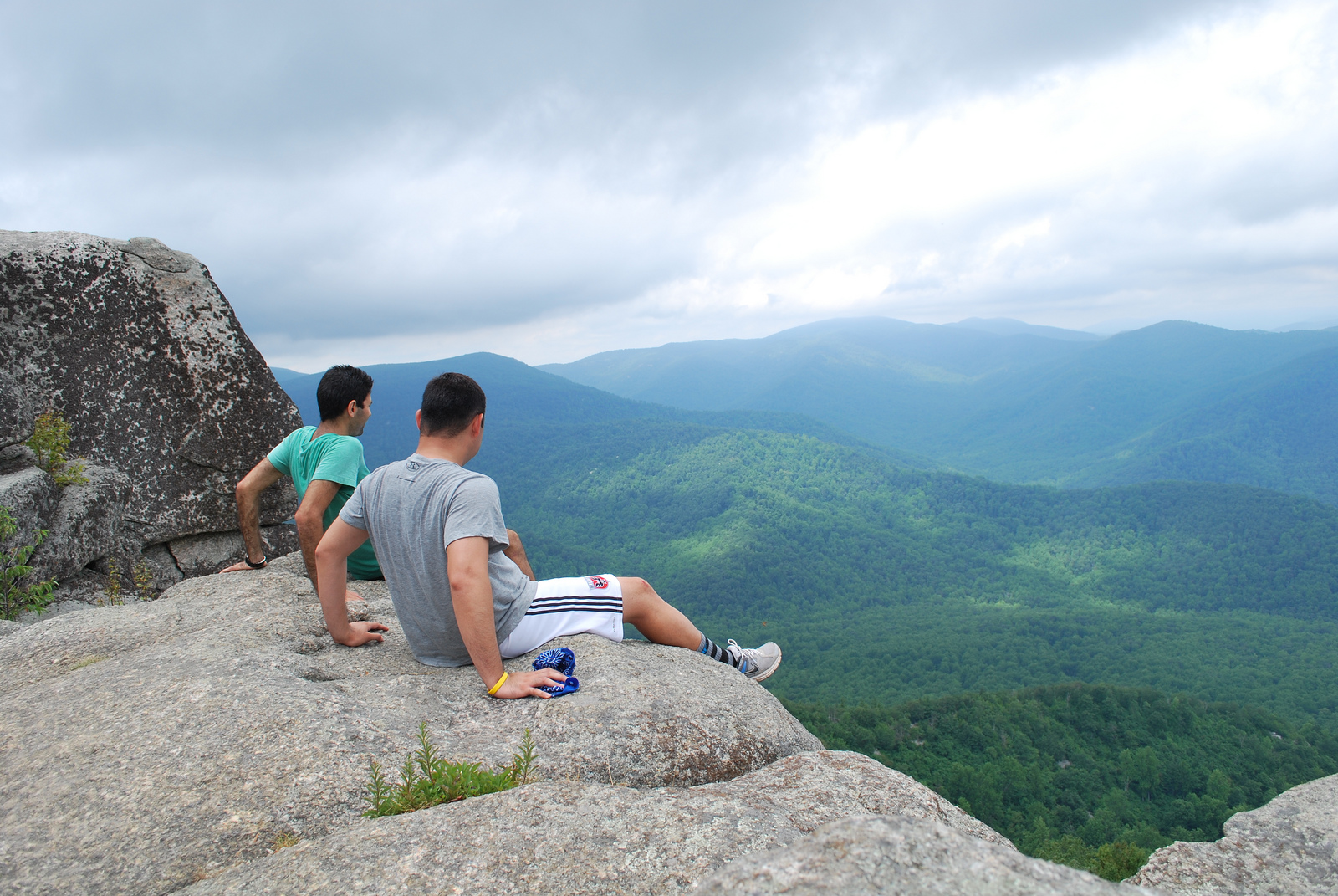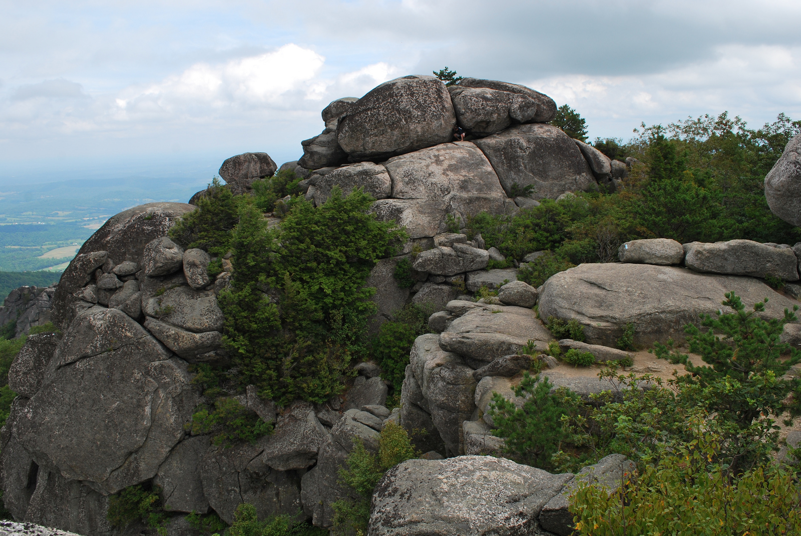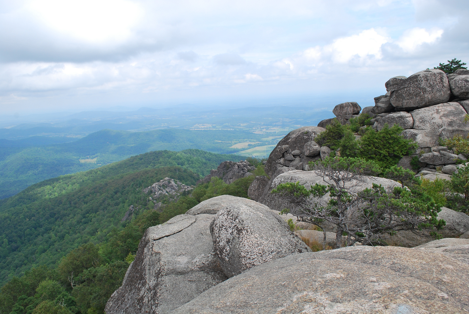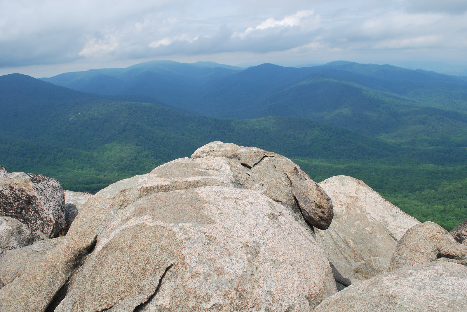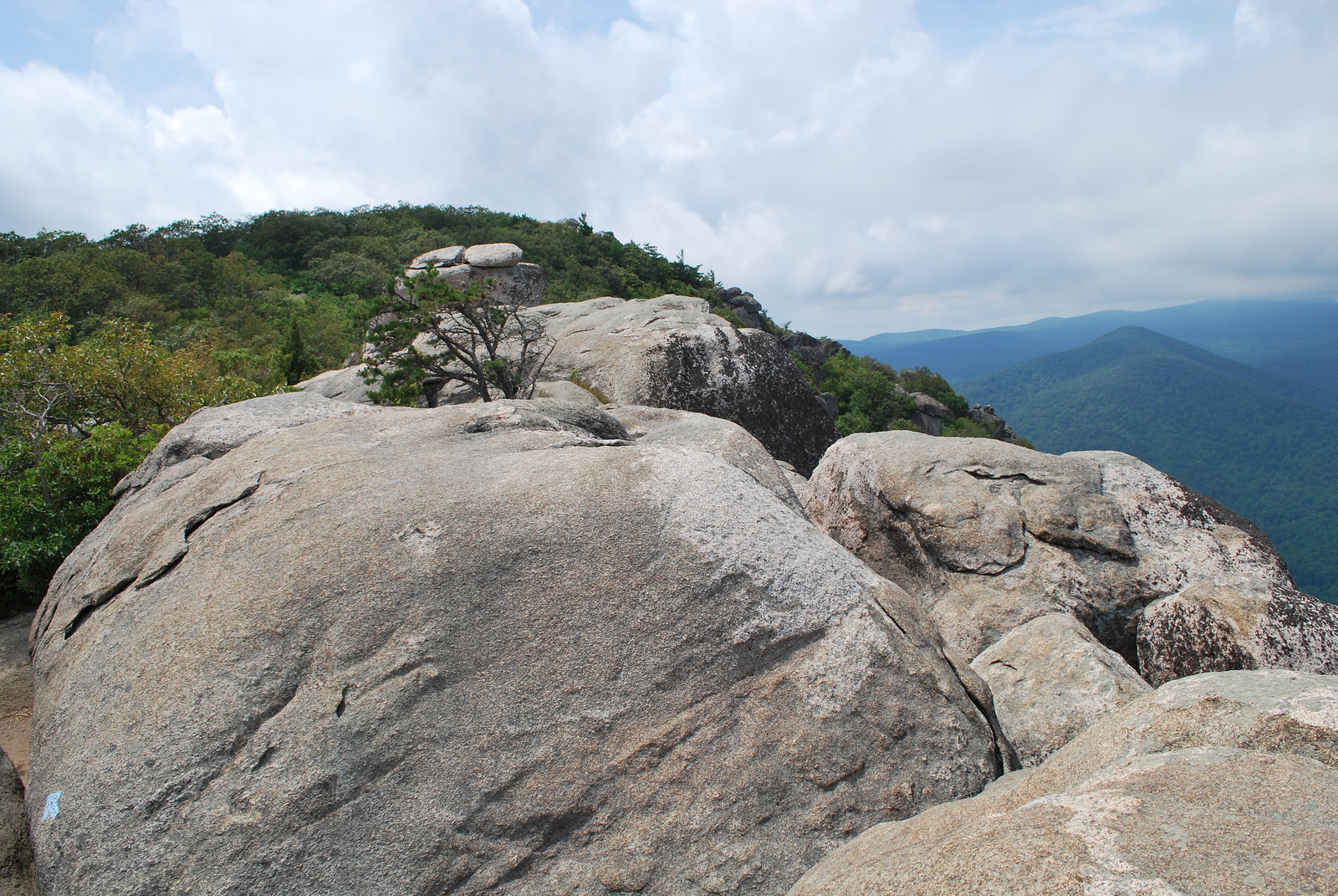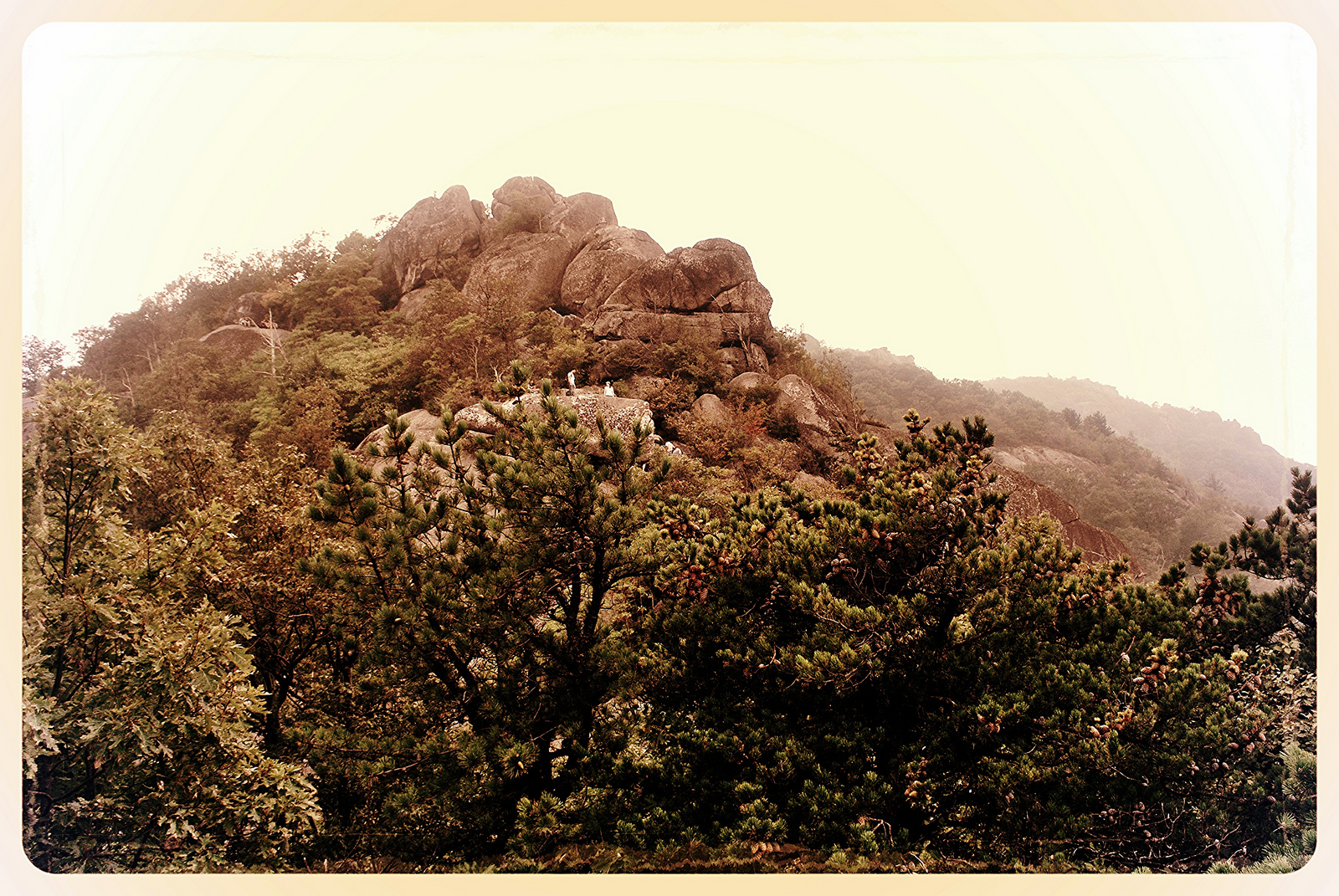
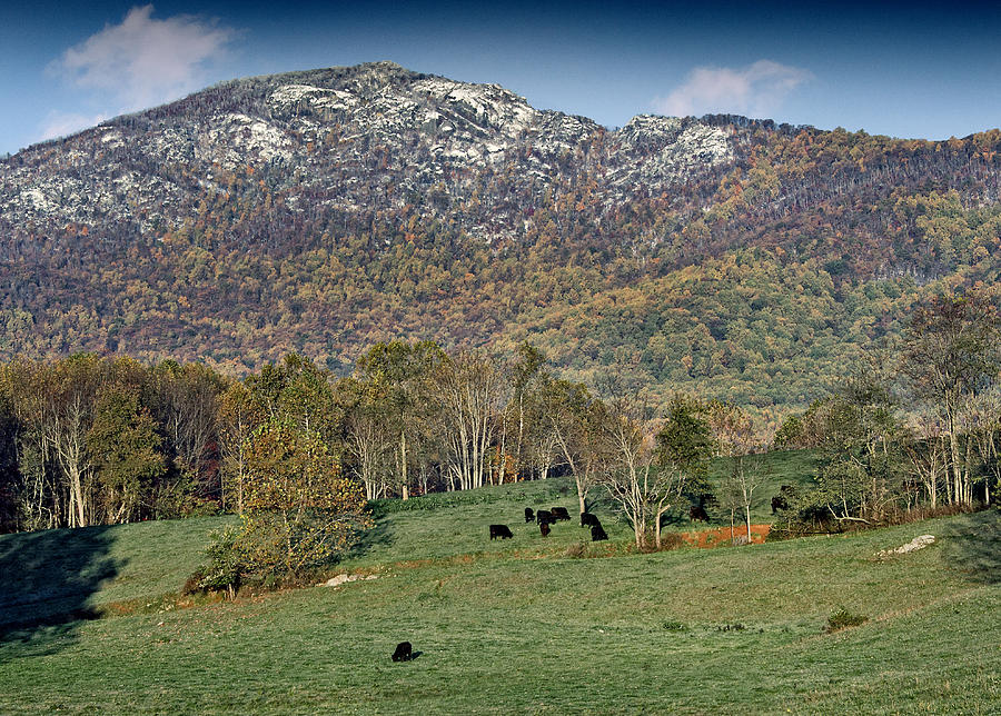
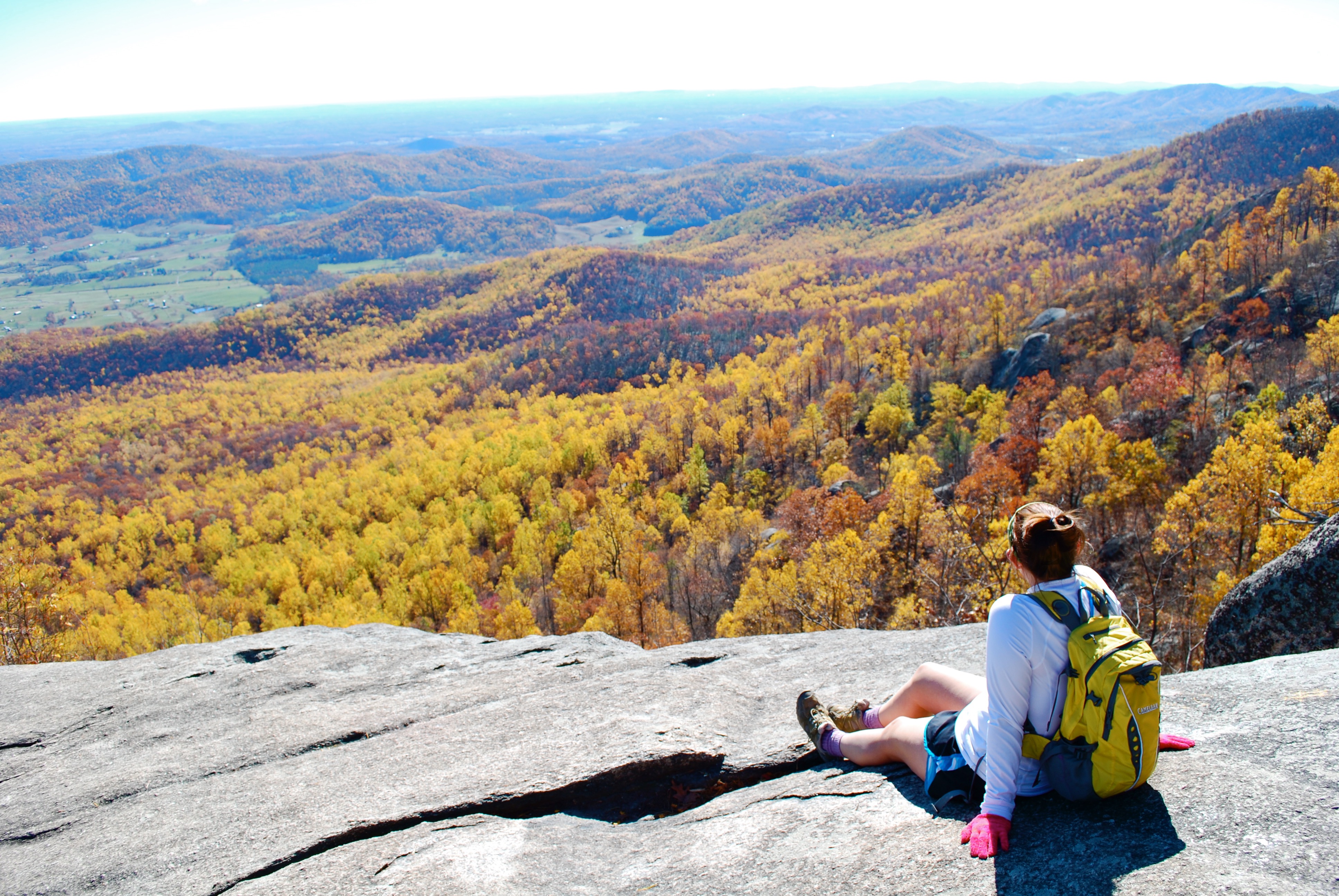
Old Rag Mountain is the most popular hiking destination in the Shenandoah valley with an elevation of 3,291 feet (1,003 m). It is located in the Blue Ridge Mountains of the Shenandoah National Park in Virginia’s Madison County. In contrast to other mountains in the area, Old Rag has an exposed (rocky) summit. This hike is very popular to new hikers in the Mid Atlantic region offering plenty of challenging sections, scrambles and gorgeous views.
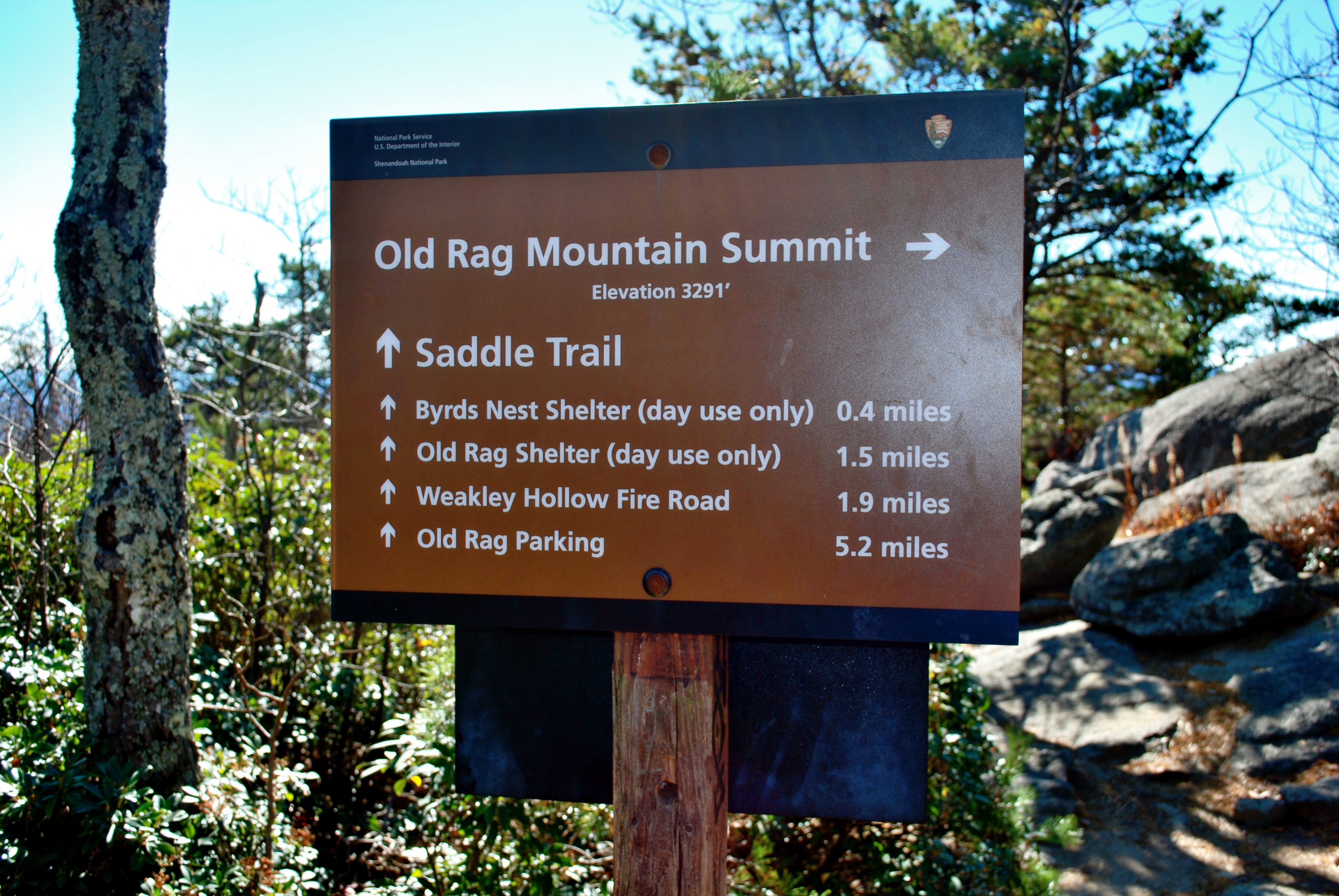
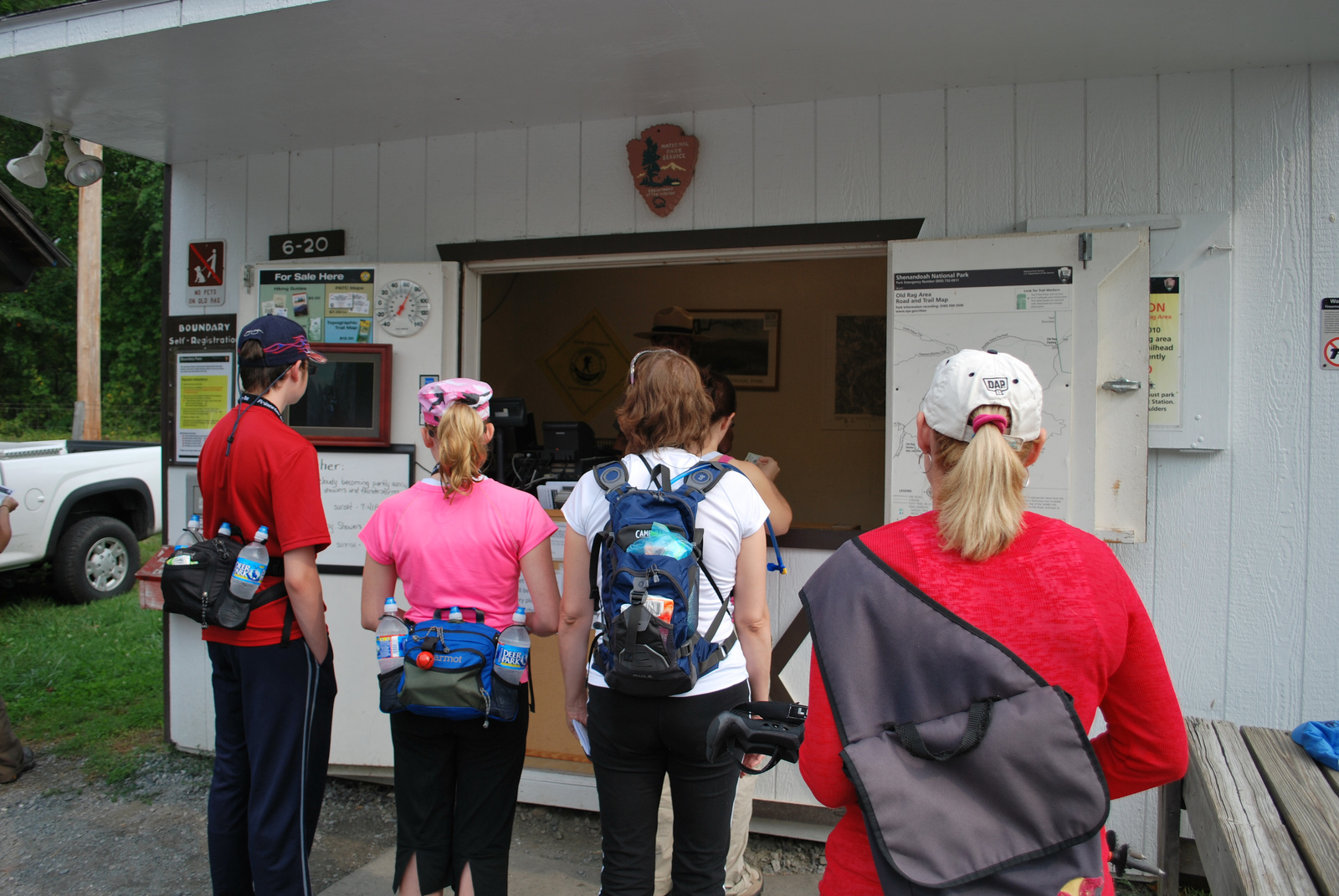
The summit is accessible via a system of trails in Shenandoah National Park. The most common way is from a parking area off Route 231 at the base of the mountain. There are two main routes one is a 7.1-mile (11.4 km) circuit hike or a 5.4-mile (8.7 km) out-and-back hike to the summit.
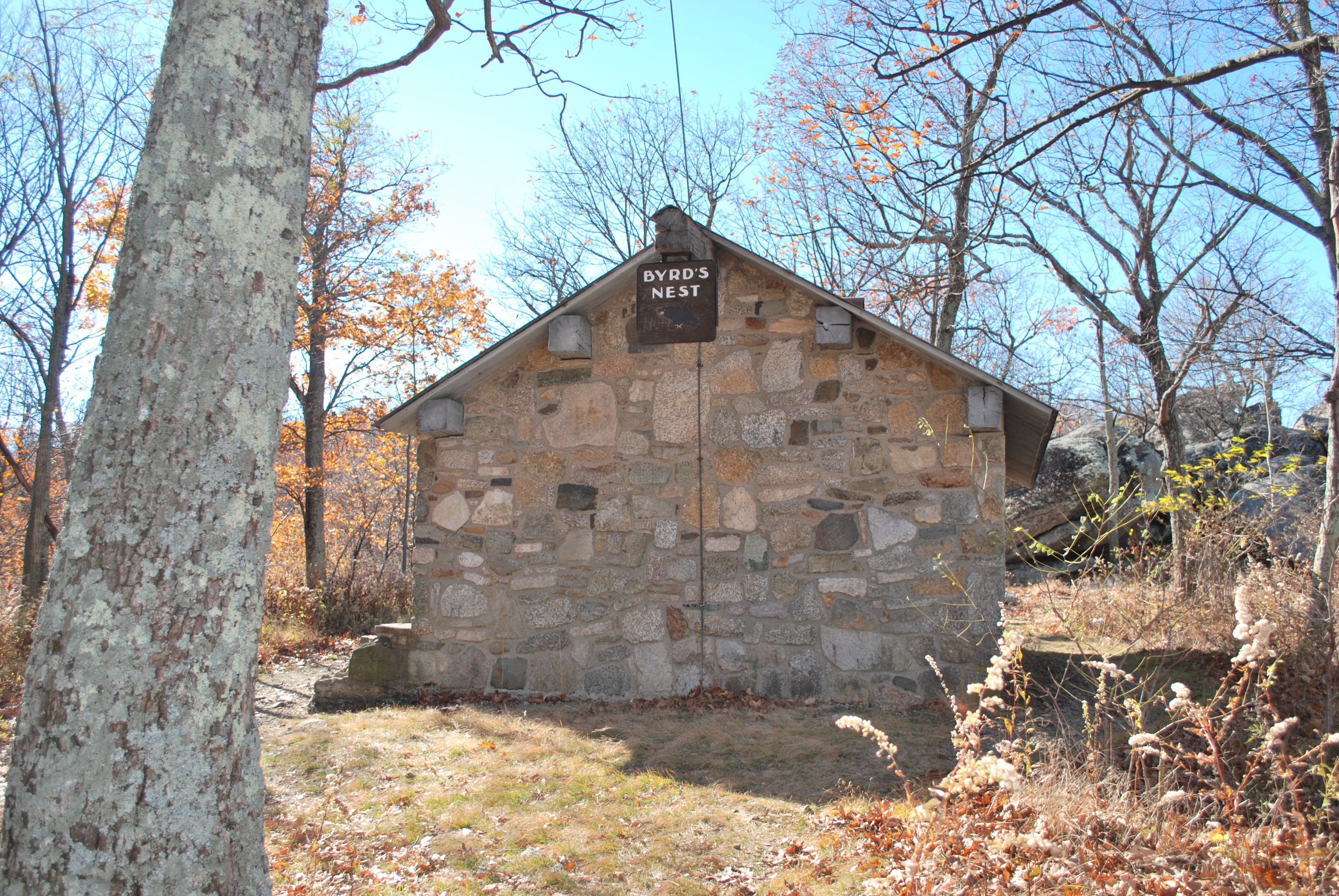
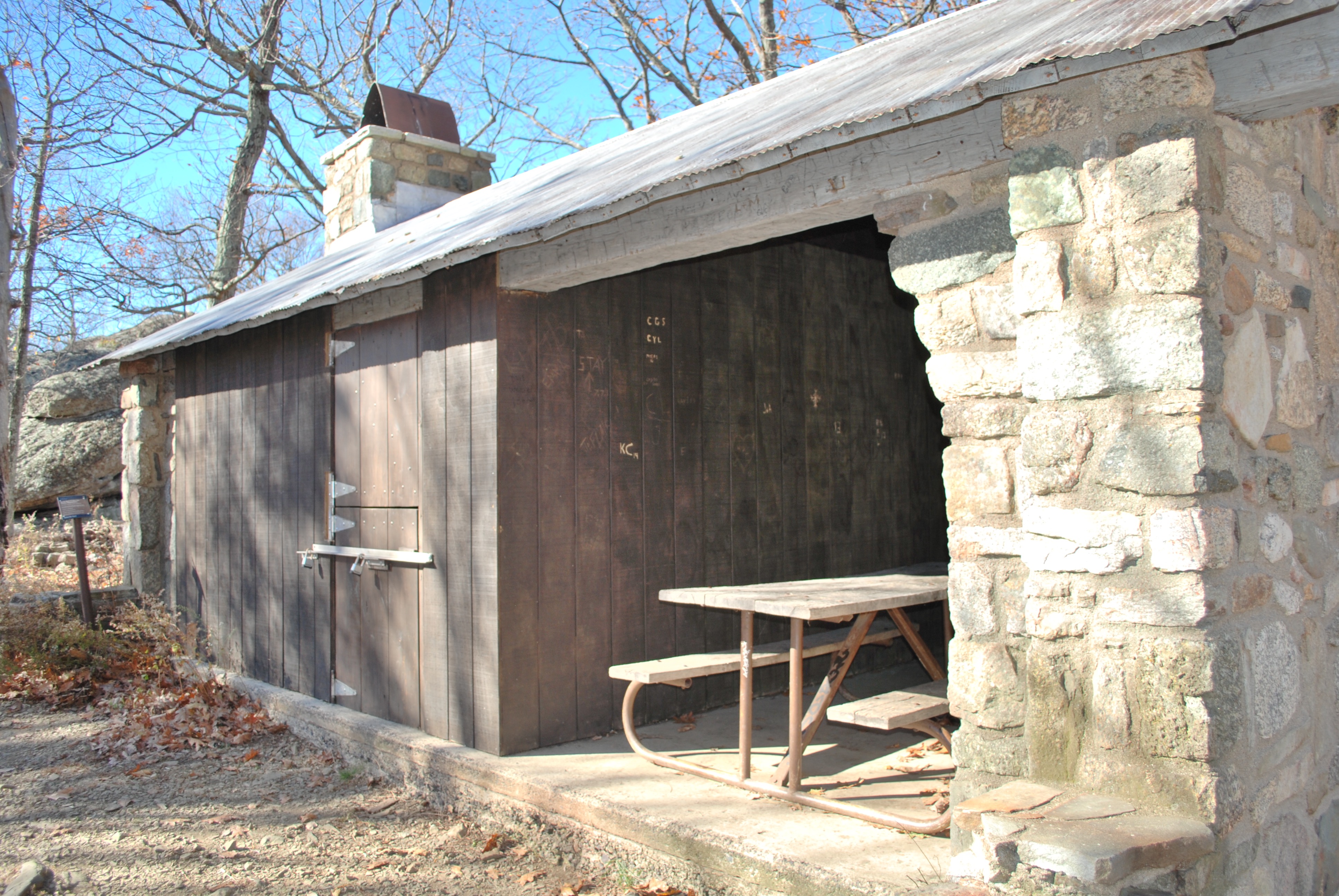
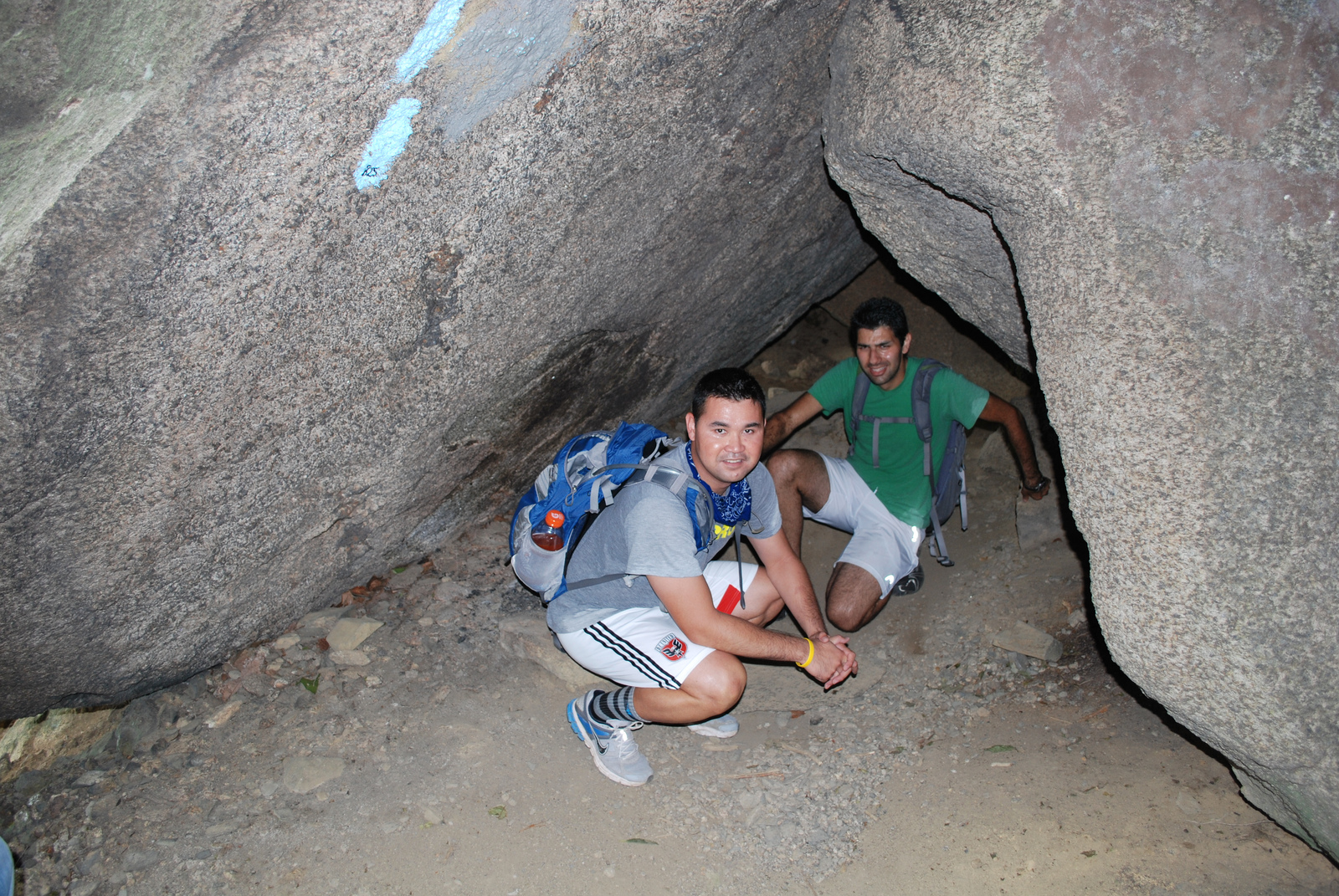
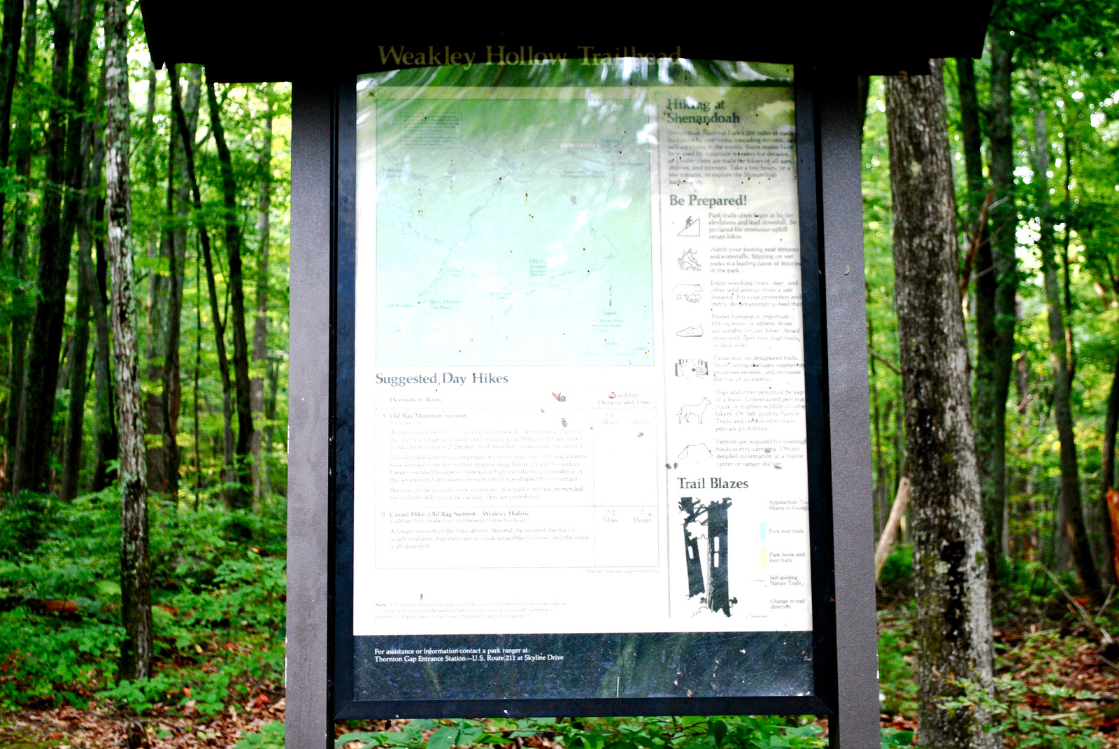
The circuit hike makes use of the Ridge Trail which ascends the mountain 1.6 miles (2.6 km) to the first false summit. The middle section of the trail then turns into a rock scramble for 1.1 miles (1.8 km), which can be strenuous for inexperienced hikers to the summit. It goes to the Saddle Trail which descends 1.9 miles (3.1 km) down the saddle of the ridge past Byrds Nest #1 shelter and Old Rag shelter to the junction of Weakley Hollow Fire Road. The Fire Road then descends 2.5 miles (4.0 km) to the Old Rag parking area.
The parking area was closed in 2010 and all the parking is now limited to the lower field parking area, adding a half mile walk on asphalt. The summit can also be reached from Skyline Drive using the shorter trail (5.4 miles) by following Old Rag Fire Road from the drive at milepost 43 to its eastern terminus with the Saddle Trail and then follow that trail to the summit.
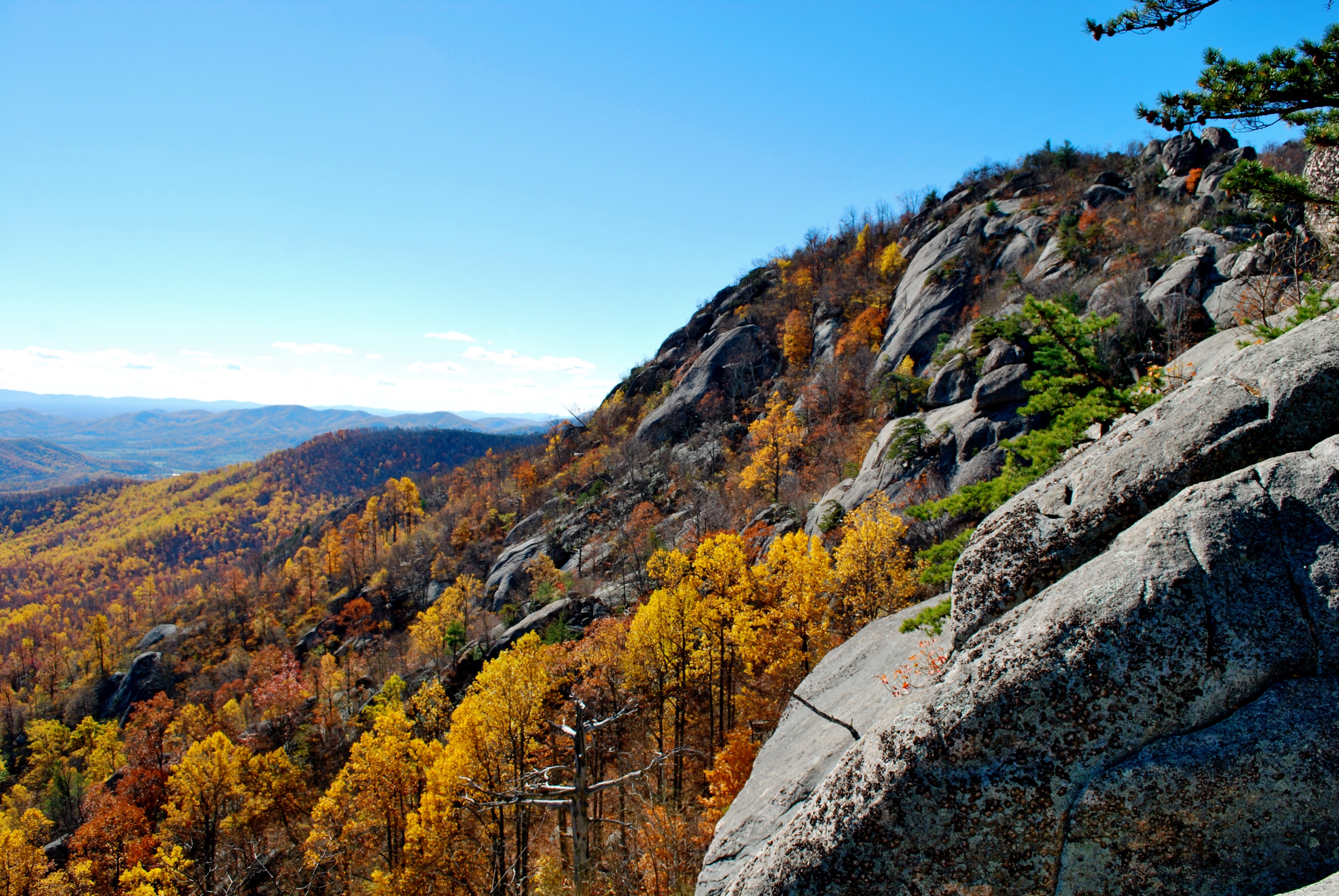
Old Rag Mountain has an expose granite summit similar to the Sierra Nevada, Yosemite, North Carolina and New Hampshire mountain regions. It’s a great rock climbing destination in the area. The climbs consists of splitter cracks, dihedrals, and crystal pinching slabs and are between 50 and 100 feet (15 and 30 m) in length, and range in difficulty from beginner to expert (5.4- to 5.12+ on the Yosemite Decimal System).
Shenandoah National Park
Panorama Area Road and Trail Map
Park Information recording: (540) 999-3500
www.nps.gov/shen
Twitter
https://twitter.com/ShenandoahNPS